

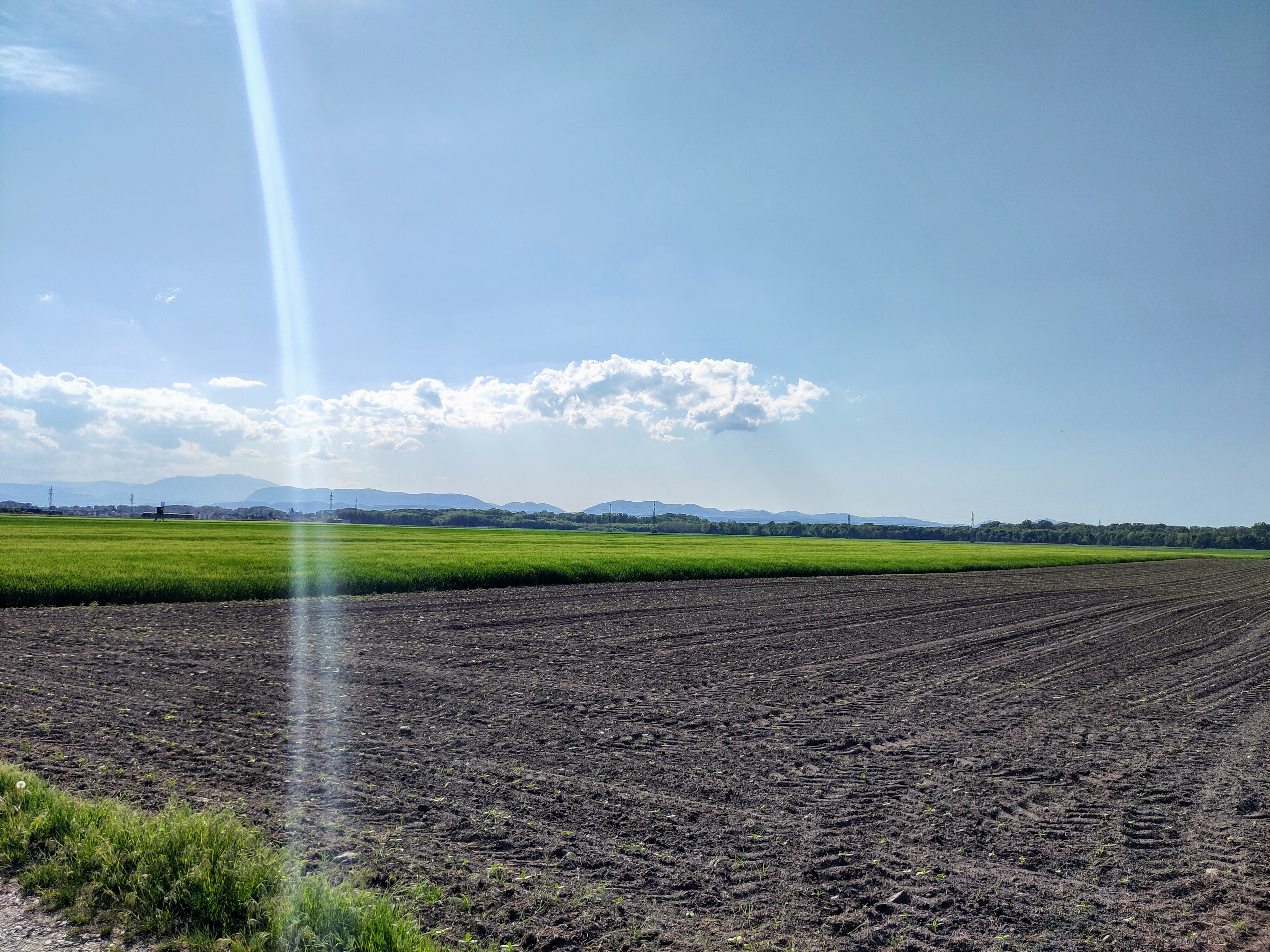
Ebreichsdorf nach Deutsch Brodersdorf über Seibersdorf und Mitterndorf und zurück nach Ebreichsdorf
A cycling route starting in Ebreichsdorf, Lower Austria, Austria.
Overview
About this route
- 2 h 6 min
- Duration
- 30.3 km
- Distance
- 19 m
- Ascent
- 71 m
- Descent
- 14.5 km/h
- Avg. speed
- 245 m
- Max. altitude
Route quality
Waytypes & surfaces along the route
Waytypes
Track
8.8 km
(29 %)
Quiet road
8.6 km
(28 %)
Surfaces
Paved
18.4 km
(61 %)
Unpaved
6.7 km
(22 %)
Asphalt
17.5 km
(58 %)
Gravel
3.5 km
(12 %)
Continue with Bikemap
Use, edit, or download this cycling route
You would like to ride Ebreichsdorf nach Deutsch Brodersdorf über Seibersdorf und Mitterndorf und zurück nach Ebreichsdorf or customize it for your own trip? Here is what you can do with this Bikemap route:
Free features
- Save this route as favorite or in collections
- Copy & plan your own version of this route
- Sync your route with Garmin or Wahoo
Premium features
Free trial for 3 days, or one-time payment. More about Bikemap Premium.
- Navigate this route on iOS & Android
- Export a GPX / KML file of this route
- Create your custom printout (try it for free)
- Download this route for offline navigation
Discover more Premium features.
Get Bikemap PremiumFrom our community
Other popular routes starting in Ebreichsdorf
 Ebreichsdorf Bahnhof - Leitha Radweg - Longinus Abstecher - gravel Leitha Radroute - Gasthaus Edelmühle - Wiener Neustadt Hauptbahnhof
- Distance
- 54.2 km
- Ascent
- 264 m
- Descent
- 235 m
- Location
- Ebreichsdorf, Lower Austria, Austria
 Ebreichsdorf/Kuchlerhaus - Schwechat
- Distance
- 28.8 km
- Ascent
- 4 m
- Descent
- 48 m
- Location
- Ebreichsdorf, Lower Austria, Austria
 Ebreichsdorf nach Loretta nach Ebreichsdorf
- Distance
- 34.2 km
- Ascent
- 89 m
- Descent
- 139 m
- Location
- Ebreichsdorf, Lower Austria, Austria
 Ebreichsdorf - Bad Rust
- Distance
- 44.4 km
- Ascent
- 251 m
- Descent
- 333 m
- Location
- Ebreichsdorf, Lower Austria, Austria
 Wienerwald Schneeberg
- Distance
- 123.6 km
- Ascent
- 1,312 m
- Descent
- 1,312 m
- Location
- Ebreichsdorf, Lower Austria, Austria
 Neufeldersee-Steinbrunnersee
- Distance
- 44.1 km
- Ascent
- 163 m
- Descent
- 162 m
- Location
- Ebreichsdorf, Lower Austria, Austria
 Tattendorf —Triestingtalradweg—Münchendorf—UWD
- Distance
- 44.9 km
- Ascent
- 62 m
- Descent
- 63 m
- Location
- Ebreichsdorf, Lower Austria, Austria
 Triestingau Radweg – Ausblick auf die Fischa Runde von Moosbrunn. 🚴♂️🚴
- Distance
- 32.6 km
- Ascent
- 63 m
- Descent
- 85 m
- Location
- Ebreichsdorf, Lower Austria, Austria
Open it in the app