1855 S Bannock St, Denver to 3519–3549 E 12th Ave, Denver
A cycling route starting in Englewood, Colorado, United States of America.
Overview
About this route
- 34 min
- Duration
- 10.5 km
- Distance
- 73 m
- Ascent
- 55 m
- Descent
- 18.8 km/h
- Avg. speed
- 1,639 m
- Avg. speed
Route quality
Waytypes & surfaces along the route
Waytypes
Quiet road
3.6 km
(34 %)
Road
2 km
(19 %)
Surfaces
Paved
7.5 km
(72 %)
Unpaved
0 km
(<1 %)
Asphalt
6.3 km
(60 %)
Paved (undefined)
1.1 km
(11 %)
Continue with Bikemap
Use, edit, or download this cycling route
You would like to ride 1855 S Bannock St, Denver to 3519–3549 E 12th Ave, Denver or customize it for your own trip? Here is what you can do with this Bikemap route:
Free features
- Save this route as favorite or in collections
- Copy & plan your own version of this route
- Sync your route with Garmin or Wahoo
Premium features
Free trial for 3 days, or one-time payment. More about Bikemap Premium.
- Navigate this route on iOS & Android
- Export a GPX / KML file of this route
- Create your custom printout (try it for free)
- Download this route for offline navigation
Discover more Premium features.
Get Bikemap PremiumFrom our community
Other popular routes starting in Englewood
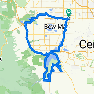
- South Broadway 2634, Denver to South Broadway 2634, Denver
- Distance
- 164.3 km
- Ascent
- 709 m
- Descent
- 705 m
- Location
- Englewood, Colorado, United States of America
- Sheridan
- Distance
- 6.4 km
- Ascent
- 20 m
- Descent
- 55 m
- Location
- Englewood, Colorado, United States of America
- 1855 S Bannock St, Denver to 940 Fillmore St, Denver
- Distance
- 9.3 km
- Ascent
- 55 m
- Descent
- 23 m
- Location
- Englewood, Colorado, United States of America
- 1600 S Acoma St, Denver to 1547 S Sherman St, Denver
- Distance
- 0.6 km
- Ascent
- 0 m
- Descent
- 0 m
- Location
- Englewood, Colorado, United States of America
- Tig Cherry Creek Res Loop
- Distance
- 45.2 km
- Ascent
- 164 m
- Descent
- 166 m
- Location
- Englewood, Colorado, United States of America
- 1855 S Bannock St, Denver to 3519–3549 E 12th Ave, Denver
- Distance
- 10.5 km
- Ascent
- 73 m
- Descent
- 55 m
- Location
- Englewood, Colorado, United States of America
- to Dahlia
- Distance
- 14.9 km
- Ascent
- 56 m
- Descent
- 51 m
- Location
- Englewood, Colorado, United States of America
- Heine Ride West
- Distance
- 41.2 km
- Ascent
- 1,798 m
- Descent
- 193 m
- Location
- Englewood, Colorado, United States of America
Open it in the app