Century(oh so close)
- 159.6 km
- 1,206 m
- 1,206 m
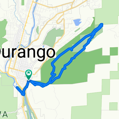
- Durango, Colorado, United States
A cycling route starting in Durango, Colorado, United States.
Overview
Test map. screwed up but close.Fire station @edgemnt to top of Highlands. Down CR 240 to Cr 250. Out 250 to Elk Horn. Clmb Elk Horn to TOP-beyond gate. Back down to 250 &up Shalona. North on 550 to right & down to Glacier Club gate-duck gate and up thru Glacier Club to 550. Back south to turn at tracks and climb Hermosa hill to pavement end. back down to 203, cross Trimble Lane. Climb steep subdivision rd to dirt. Descend to 203, to town. Pick up bike trail behind Rec Center, thru to Avenues, up 8thStr to Campus & pass Golf Course, dwn to 240, up Edgemont to Fire Station.
created this 14 years ago
Continue with Bikemap
You would like to ride Valley loop with Climbs. or customize it for your own trip? Here is what you can do with this Bikemap route:
Free trial for 3 days, or one-time payment. More about Bikemap Premium.
Discover more Premium features.
Get Bikemap PremiumFrom our community
Open it in the app