

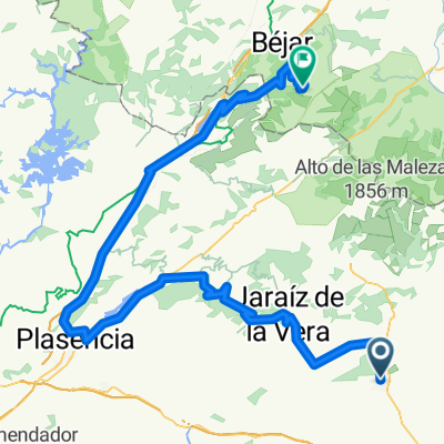
Talayuela-Presa de las Veguillas
A cycling route starting in Talayuela, Extremadura, Spain.
Overview
About this route
Ruta corta en la que nos volvimos cuando podría empezar lo bueno (las tardes son muy cortas)
Muy llana y de paisaje variable. Hicimos a carretera imprescindible. Conviene hacerla con tiempo y completarla por ejemplo con este circuito por las Veguillas (gracias al autor)
- -:--
- Duration
- 34.8 km
- Distance
- 197 m
- Ascent
- 195 m
- Descent
- ---
- Avg. speed
- ---
- Max. altitude

Continue with Bikemap
Use, edit, or download this cycling route
You would like to ride Talayuela-Presa de las Veguillas or customize it for your own trip? Here is what you can do with this Bikemap route:
Free features
- Save this route as favorite or in collections
- Copy & plan your own version of this route
- Sync your route with Garmin or Wahoo
Premium features
Free trial for 3 days, or one-time payment. More about Bikemap Premium.
- Navigate this route on iOS & Android
- Export a GPX / KML file of this route
- Create your custom printout (try it for free)
- Download this route for offline navigation
Discover more Premium features.
Get Bikemap PremiumFrom our community
Other popular routes starting in Talayuela
 talayuela. el pinar
- Distance
- 10.9 km
- Ascent
- 223 m
- Descent
- 229 m
- Location
- Talayuela, Extremadura, Spain
 Talayuela - piornal
- Distance
- 123.7 km
- Ascent
- 1,584 m
- Descent
- 1,586 m
- Location
- Talayuela, Extremadura, Spain
 piornal 2
- Distance
- 114.2 km
- Ascent
- 1,471 m
- Descent
- 1,480 m
- Location
- Talayuela, Extremadura, Spain
 LA CORTA
- Distance
- 29.5 km
- Ascent
- 173 m
- Descent
- 173 m
- Location
- Talayuela, Extremadura, Spain
 la corta
- Distance
- 10.5 km
- Ascent
- 459 m
- Descent
- 447 m
- Location
- Talayuela, Extremadura, Spain
 ruta talayuela-robleo-torreseca desviando por el canal de santa mª
- Distance
- 35 km
- Ascent
- 102 m
- Descent
- 104 m
- Location
- Talayuela, Extremadura, Spain
 Etapa 4 Vuelta pcmspain
- Distance
- 142.9 km
- Ascent
- 2,667 m
- Descent
- 1,104 m
- Location
- Talayuela, Extremadura, Spain
 Talayuela-Presa de las Veguillas
- Distance
- 34.8 km
- Ascent
- 197 m
- Descent
- 195 m
- Location
- Talayuela, Extremadura, Spain
Open it in the app