

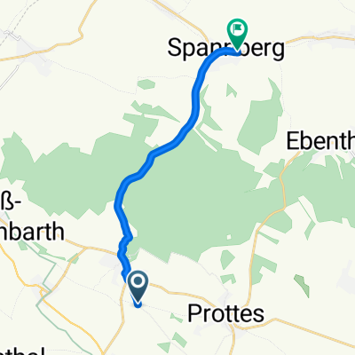
Weingartenstraße 96, Auersthal nach Anzengrubergasse 3, Deutsch-Wagram
A cycling route starting in Auersthal, Lower Austria, Austria.
Overview
About this route
- 1 h 5 min
- Duration
- 17.7 km
- Distance
- 22 m
- Ascent
- 40 m
- Descent
- 16.3 km/h
- Avg. speed
- 178 m
- Max. altitude

Route quality
Waytypes & surfaces along the route
Waytypes
Quiet road
12.9 km
(73 %)
Track
2.8 km
(16 %)
Surfaces
Paved
11 km
(62 %)
Unpaved
4.1 km
(23 %)
Asphalt
10.1 km
(57 %)
Gravel
2.7 km
(15 %)
Continue with Bikemap
Use, edit, or download this cycling route
You would like to ride Weingartenstraße 96, Auersthal nach Anzengrubergasse 3, Deutsch-Wagram or customize it for your own trip? Here is what you can do with this Bikemap route:
Free features
- Save this route as favorite or in collections
- Copy & plan your own version of this route
- Sync your route with Garmin or Wahoo
Premium features
Free trial for 3 days, or one-time payment. More about Bikemap Premium.
- Navigate this route on iOS & Android
- Export a GPX / KML file of this route
- Create your custom printout (try it for free)
- Download this route for offline navigation
Discover more Premium features.
Get Bikemap PremiumFrom our community
Other popular routes starting in Auersthal
 Matzner Wald-Runde
- Distance
- 45.5 km
- Ascent
- 449 m
- Descent
- 449 m
- Location
- Auersthal, Lower Austria, Austria
 Weingartenstraße 96, Auersthal nach Warthberggasse 32, Matzen
- Distance
- 16.9 km
- Ascent
- 110 m
- Descent
- 107 m
- Location
- Auersthal, Lower Austria, Austria
 Einfache Fahrt in Spannberg
- Distance
- 15.8 km
- Ascent
- 554 m
- Descent
- 548 m
- Location
- Auersthal, Lower Austria, Austria
 ?d?“? nach ?d?“?
- Distance
- 10.7 km
- Ascent
- 98 m
- Descent
- 99 m
- Location
- Auersthal, Lower Austria, Austria
 Laufrunde 15km
- Distance
- 15.8 km
- Ascent
- 57 m
- Descent
- 58 m
- Location
- Auersthal, Lower Austria, Austria
 Aussichtswarte Unterolberndorf und um den Hochleithenwald
- Distance
- 52.2 km
- Ascent
- 412 m
- Descent
- 413 m
- Location
- Auersthal, Lower Austria, Austria
 Weingartenstraße 96, Auersthal nach Anzengrubergasse 3, Deutsch-Wagram
- Distance
- 17.7 km
- Ascent
- 22 m
- Descent
- 40 m
- Location
- Auersthal, Lower Austria, Austria
 Auersthal - Arbeit (FAZ)
- Distance
- 25.3 km
- Ascent
- 41 m
- Descent
- 54 m
- Location
- Auersthal, Lower Austria, Austria
Open it in the app