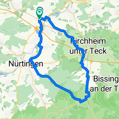
Wernau - Ebersbach - Reichenbach
- 33.5 km
- 213 m
- 222 m
- Köngen, Baden-Wurttemberg, Germany
A cycling route starting in Köngen, Baden-Wurttemberg, Germany.
Overview
Flat
Route quality
Road
13.7 km
(41 %)
Quiet road
4 km
(12 %)
Paved
29.1 km
(87 %)
Asphalt
29.1 km
(87 %)
Undefined
4.4 km
(13 %)
Continue with Bikemap
You would like to ride Wernau - Ebersbach - Reichenbach or customize it for your own trip? Here is what you can do with this Bikemap route:
Free trial for 3 days, or one-time payment. More about Bikemap Premium.
Discover more Premium features.
Get Bikemap PremiumFrom our community
Open it in the app