

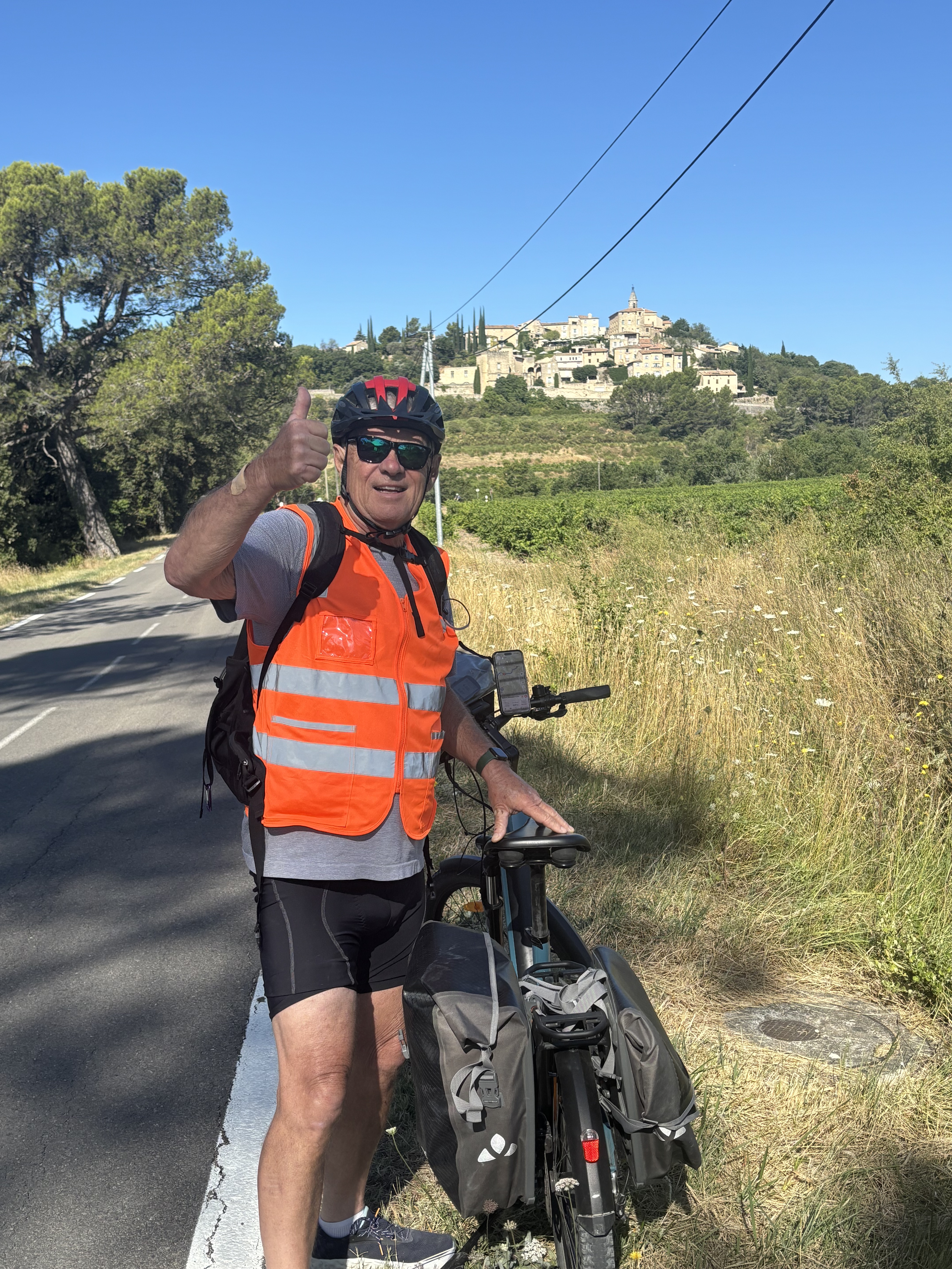
Bedoin - Mt. Ventoux
A cycling route starting in Bédoin, Provence-Alpes-Côte d'Azur Region, France.
Overview
About this route
-
Mein Lieblingsberg schlechthin -
-
Atemberaubende Auffahrt -
- -:--
- Duration
- 21.1 km
- Distance
- 1,595 m
- Ascent
- 127 m
- Descent
- ---
- Avg. speed
- 1,777 m
- Max. altitude

Route quality
Waytypes & surfaces along the route
Waytypes
Path
1.1 km
(5 %)
Access road
0.2 km
(1 %)
Undefined
19.8 km
(94 %)
Surfaces
Paved
19.8 km
(94 %)
Unpaved
0.2 km
(1 %)
Asphalt
19.8 km
(94 %)
Pebblestone
0.2 km
(1 %)
Undefined
1.1 km
(5 %)
Continue with Bikemap
Use, edit, or download this cycling route
You would like to ride Bedoin - Mt. Ventoux or customize it for your own trip? Here is what you can do with this Bikemap route:
Free features
- Save this route as favorite or in collections
- Copy & plan your own version of this route
- Sync your route with Garmin or Wahoo
Premium features
Free trial for 3 days, or one-time payment. More about Bikemap Premium.
- Navigate this route on iOS & Android
- Export a GPX / KML file of this route
- Create your custom printout (try it for free)
- Download this route for offline navigation
Discover more Premium features.
Get Bikemap PremiumFrom our community
Other popular routes starting in Bédoin
 Mont Ventoux tour 6:30 57 km 2300m
- Distance
- 57 km
- Ascent
- 2,305 m
- Descent
- 2,305 m
- Location
- Bédoin, Provence-Alpes-Côte d'Azur Region, France
 Chemin des Crans, Bédoin to Cours de la République, Caromb
- Distance
- 8.7 km
- Ascent
- 87 m
- Descent
- 185 m
- Location
- Bédoin, Provence-Alpes-Côte d'Azur Region, France
 Bedoin - Mt. Ventoux
- Distance
- 21.1 km
- Ascent
- 1,595 m
- Descent
- 127 m
- Location
- Bédoin, Provence-Alpes-Côte d'Azur Region, France
 Mont Ventoux Bédoin, Malaucène, Sault
- Distance
- 136.1 km
- Ascent
- 4,222 m
- Descent
- 4,222 m
- Location
- Bédoin, Provence-Alpes-Côte d'Azur Region, France
 Bedoin-Garomb
- Distance
- 21.4 km
- Ascent
- 374 m
- Descent
- 374 m
- Location
- Bédoin, Provence-Alpes-Côte d'Azur Region, France
 P40 Tour 4 - Mont Ventoux
- Distance
- 54.6 km
- Ascent
- 1,673 m
- Descent
- 1,673 m
- Location
- Bédoin, Provence-Alpes-Côte d'Azur Region, France
 Ventoux - Enduro Face nord
- Distance
- 23.6 km
- Ascent
- 13 m
- Descent
- 1,584 m
- Location
- Bédoin, Provence-Alpes-Côte d'Azur Region, France
 Bédoin-Flassan-Nesque-Sault-Méthamis-Mormoiron
- Distance
- 83.5 km
- Ascent
- 898 m
- Descent
- 901 m
- Location
- Bédoin, Provence-Alpes-Côte d'Azur Region, France
Open it in the app