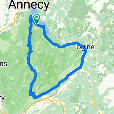
Tour du lac d' Annecy par Forclaz et Montmin (74)
- 51.9 km
- 984 m
- 986 m
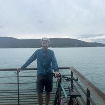
- Saint-Jorioz, Auvergne-Rhône-Alpes, France
A cycling route starting in Saint-Jorioz, Auvergne-Rhône-Alpes, France.
Overview
created this 2 years ago
Route quality
Road
31.1 km
(53 %)
Quiet road
0.6 km
(1 %)
Undefined
27 km
(46 %)
Paved
52.2 km
(89 %)
Asphalt
52.2 km
(89 %)
Undefined
6.5 km
(11 %)
Continue with Bikemap
You would like to ride tour des bauges or customize it for your own trip? Here is what you can do with this Bikemap route:
Free trial for 3 days, or one-time payment. More about Bikemap Premium.
Discover more Premium features.
Get Bikemap PremiumFrom our community
Open it in the app