Apfeltour WZ 16 und Freistritzradweg R 12
A cycling route starting in Krottendorf, Styria, Austria.
Overview
About this route
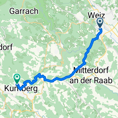
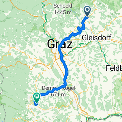
Start in Regrerstätten via Etzersdorf, Pichl, Puch to the Feistritztal Cycle Path R12 to Stubenberg, St. Johann bei Herberstein, and back.
- -:--
- Duration
- 21 km
- Distance
- 619 m
- Ascent
- 643 m
- Descent
- ---
- Avg. speed
- 711 m
- Max. altitude
Route quality
Waytypes & surfaces along the route
Waytypes
Quiet road
15.8 km
(75 %)
Road
3.2 km
(15 %)
Surfaces
Paved
12.8 km
(61 %)
Unpaved
0.2 km
(1 %)
Asphalt
12.8 km
(61 %)
Gravel
0.2 km
(1 %)
Undefined
8 km
(38 %)
Continue with Bikemap
Use, edit, or download this cycling route
You would like to ride Apfeltour WZ 16 und Freistritzradweg R 12 or customize it for your own trip? Here is what you can do with this Bikemap route:
Free features
- Save this route as favorite or in collections
- Copy & plan your own version of this route
- Sync your route with Garmin or Wahoo
Premium features
Free trial for 3 days, or one-time payment. More about Bikemap Premium.
- Navigate this route on iOS & Android
- Export a GPX / KML file of this route
- Create your custom printout (try it for free)
- Download this route for offline navigation
Discover more Premium features.
Get Bikemap PremiumFrom our community
Other popular routes starting in Krottendorf
- Rosenberg-Passail-Gösser-Mitterdorf-Ruprecht
- Distance
- 52.9 km
- Ascent
- 746 m
- Descent
- 746 m
- Location
- Krottendorf, Styria, Austria
- Weiz Grado
- Distance
- 388.2 km
- Ascent
- 2,077 m
- Descent
- 2,544 m
- Location
- Krottendorf, Styria, Austria
- 011 Riegersbur - Runde
- Distance
- 100.1 km
- Ascent
- 524 m
- Descent
- 524 m
- Location
- Krottendorf, Styria, Austria
- weizer berge rundfahrt
- Distance
- 148.4 km
- Ascent
- 2,635 m
- Descent
- 2,633 m
- Location
- Krottendorf, Styria, Austria
- Elzrunde
- Distance
- 28 km
- Ascent
- 391 m
- Descent
- 394 m
- Location
- Krottendorf, Styria, Austria
- Apfeltour WZ 16 und Freistritzradweg R 12
- Distance
- 21 km
- Ascent
- 619 m
- Descent
- 643 m
- Location
- Krottendorf, Styria, Austria
- Rosenberg-Schöckl-Fladnitz-Passail-Weiz-Rosenberg
- Distance
- 50.8 km
- Ascent
- 1,167 m
- Descent
- 1,163 m
- Location
- Krottendorf, Styria, Austria
- stubenbergrunde
- Distance
- 57.7 km
- Ascent
- 900 m
- Descent
- 900 m
- Location
- Krottendorf, Styria, Austria
Open it in the app