

Malga Alprechalm
A cycling route starting in Prettau, Trentino-Alto Adige, Italy.
Overview
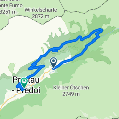
About this route
At the Predoi malga, characteristic of 200 years ago, you eat well and prices are fair. A nice panoramic place with the possibility to reach the waterfall and the summit.
- -:--
- Duration
- 5.2 km
- Distance
- 569 m
- Ascent
- 20 m
- Descent
- ---
- Avg. speed
- 1,999 m
- Max. altitude
Route quality
Waytypes & surfaces along the route
Waytypes
Track
4.6 km
(88 %)
Quiet road
0.6 km
(11 %)
Undefined
0.1 km
(1 %)
Surfaces
Paved
0.1 km
(1 %)
Unpaved
4.6 km
(88 %)
Gravel
4.6 km
(88 %)
Asphalt
0.1 km
(1 %)
Undefined
0.6 km
(11 %)
Continue with Bikemap
Use, edit, or download this cycling route
You would like to ride Malga Alprechalm or customize it for your own trip? Here is what you can do with this Bikemap route:
Free features
- Save this route as favorite or in collections
- Copy & plan your own version of this route
- Sync your route with Garmin or Wahoo
Premium features
Free trial for 3 days, or one-time payment. More about Bikemap Premium.
- Navigate this route on iOS & Android
- Export a GPX / KML file of this route
- Create your custom printout (try it for free)
- Download this route for offline navigation
Discover more Premium features.
Get Bikemap PremiumFrom our community
Other popular routes starting in Prettau
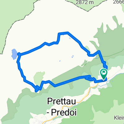
 Anello: Predoi - FuchsAlm - TauernAlm - Casere
- Distance
- 15.2 km
- Ascent
- 749 m
- Descent
- 880 m
- Location
- Prettau, Trentino-Alto Adige, Italy
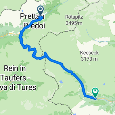 Von Prettau bis Sankt Jakob in Defereggen
- Distance
- 37 km
- Ascent
- 1,995 m
- Descent
- 2,042 m
- Location
- Prettau, Trentino-Alto Adige, Italy
 Prettau -Plätzwiese
- Distance
- 86.5 km
- Ascent
- 2,397 m
- Descent
- 1,862 m
- Location
- Prettau, Trentino-Alto Adige, Italy
 Chata Rifugio
- Distance
- 14.9 km
- Ascent
- 1,070 m
- Descent
- 1,070 m
- Location
- Prettau, Trentino-Alto Adige, Italy
 Escursione invernale a Steger Alm
- Distance
- 4.2 km
- Ascent
- 507 m
- Descent
- 0 m
- Location
- Prettau, Trentino-Alto Adige, Italy
 Casere - Rif.Tridentina - Rif.Vetta d'Italia
- Distance
- 19.9 km
- Ascent
- 1,123 m
- Descent
- 1,124 m
- Location
- Prettau, Trentino-Alto Adige, Italy
 Anello: Casere - Waldnersee
- Distance
- 11.6 km
- Ascent
- 909 m
- Descent
- 906 m
- Location
- Prettau, Trentino-Alto Adige, Italy
 S. Pietro - Molini di Tures
- Distance
- 23.3 km
- Ascent
- 292 m
- Descent
- 683 m
- Location
- Prettau, Trentino-Alto Adige, Italy
Open it in the app