ss 2 66-1100
A cycling route starting in Sebnitz, Saxony, Germany.
Overview
About this route
- -:--
- Duration
- 66.3 km
- Distance
- 1,412 m
- Ascent
- 1,411 m
- Descent
- ---
- Avg. speed
- 402 m
- Max. altitude
Route quality
Waytypes & surfaces along the route
Waytypes
Road
30.5 km
(46 %)
Quiet road
6 km
(9 %)
Surfaces
Paved
62.3 km
(94 %)
Unpaved
0.7 km
(1 %)
Asphalt
62.3 km
(94 %)
Gravel
0.7 km
(1 %)
Undefined
3.3 km
(5 %)
Continue with Bikemap
Use, edit, or download this cycling route
You would like to ride ss 2 66-1100 or customize it for your own trip? Here is what you can do with this Bikemap route:
Free features
- Save this route as favorite or in collections
- Copy & plan your own version of this route
- Sync your route with Garmin or Wahoo
Premium features
Free trial for 3 days, or one-time payment. More about Bikemap Premium.
- Navigate this route on iOS & Android
- Export a GPX / KML file of this route
- Create your custom printout (try it for free)
- Download this route for offline navigation
Discover more Premium features.
Get Bikemap PremiumFrom our community
Other popular routes starting in Sebnitz
- Hinterhermsdorf - Ruppersdorf
- Distance
- 65.6 km
- Ascent
- 571 m
- Descent
- 618 m
- Location
- Sebnitz, Saxony, Germany
- Zwischen Kirnitzschtal und Balzhütten
- Distance
- 38 km
- Ascent
- 415 m
- Descent
- 415 m
- Location
- Sebnitz, Saxony, Germany
- Kleines Prebischtor, Var. 2
- Distance
- 46.8 km
- Ascent
- 586 m
- Descent
- 586 m
- Location
- Sebnitz, Saxony, Germany
- Panoramatour Sächsische Schweiz
- Distance
- 56.3 km
- Ascent
- 581 m
- Descent
- 581 m
- Location
- Sebnitz, Saxony, Germany
- Gipfeltour, hart aber schön
- Distance
- 106 km
- Ascent
- 1,851 m
- Descent
- 1,851 m
- Location
- Sebnitz, Saxony, Germany
- Zeughaus, Zeidlertal, Tanzplan
- Distance
- 46.2 km
- Ascent
- 696 m
- Descent
- 697 m
- Location
- Sebnitz, Saxony, Germany
- Sebnitz - Kyjov - Sebnitz
- Distance
- 43.9 km
- Ascent
- 608 m
- Descent
- 608 m
- Location
- Sebnitz, Saxony, Germany
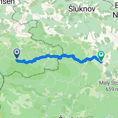
- Sächsische-Böhmische-Schweiz - Runde
- Distance
- 42.5 km
- Ascent
- 394 m
- Descent
- 394 m
- Location
- Sebnitz, Saxony, Germany
Open it in the app