

Grand Traverse Jura
A cycling route starting in Mandeure, Bourgogne-Franche-Comté, France.
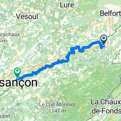
Overview
About this route
- 38 h 56 min
- Duration
- 433.1 km
- Distance
- 10,333 m
- Ascent
- 10,437 m
- Descent
- 11.1 km/h
- Avg. speed
- 1,331 m
- Max. altitude

Route quality
Waytypes & surfaces along the route
Waytypes
Quiet road
125.6 km
(29 %)
Road
78 km
(18 %)
Surfaces
Paved
181.9 km
(42 %)
Unpaved
30.3 km
(7 %)
Asphalt
168.9 km
(39 %)
Gravel
21.7 km
(5 %)
Continue with Bikemap
Use, edit, or download this cycling route
You would like to ride Grand Traverse Jura or customize it for your own trip? Here is what you can do with this Bikemap route:
Free features
- Save this route as favorite or in collections
- Copy & plan your own version of this route
- Split it into stages to create a multi-day tour
- Sync your route with Garmin or Wahoo
Premium features
Free trial for 3 days, or one-time payment. More about Bikemap Premium.
- Navigate this route on iOS & Android
- Export a GPX / KML file of this route
- Create your custom printout (try it for free)
- Download this route for offline navigation
Discover more Premium features.
Get Bikemap PremiumFrom our community
Other popular routes starting in Mandeure
 #3 Mandeure - Chalezeule
- Distance
- 90.3 km
- Ascent
- 805 m
- Descent
- 892 m
- Location
- Mandeure, Bourgogne-Franche-Comté, France
 gtj btt
- Distance
- 338.9 km
- Ascent
- 3,974 m
- Descent
- 3,224 m
- Location
- Mandeure, Bourgogne-Franche-Comté, France
 VTT INTEGRALE avec extension Culoz et modif combe ...
- Distance
- 392.9 km
- Ascent
- 10,289 m
- Descent
- 10,389 m
- Location
- Mandeure, Bourgogne-Franche-Comté, France
 Grand Traverse Jura
- Distance
- 433.1 km
- Ascent
- 10,333 m
- Descent
- 10,437 m
- Location
- Mandeure, Bourgogne-Franche-Comté, France
 Rue de Valentigney, Mathay à 85 Rue de Sous-Roches, Valentigney
- Distance
- 10.9 km
- Ascent
- 22 m
- Descent
- 33 m
- Location
- Mandeure, Bourgogne-Franche-Comté, France
 The Jura Traverse (Grande Traversée du Jura)
- Distance
- 420.9 km
- Ascent
- 10,330 m
- Descent
- 10,423 m
- Location
- Mandeure, Bourgogne-Franche-Comté, France
 gtj btt
- Distance
- 338.9 km
- Ascent
- 3,953 m
- Descent
- 3,212 m
- Location
- Mandeure, Bourgogne-Franche-Comté, France
 Recovered Route
- Distance
- 4.5 km
- Ascent
- 20 m
- Descent
- 24 m
- Location
- Mandeure, Bourgogne-Franche-Comté, France
Open it in the app