

**16-M. Foix - Gaillac (156 Km)
A cycling route starting in Foix, Occitanie, France.
Overview
About this route
- -:--
- Duration
- 155.8 km
- Distance
- 995 m
- Ascent
- 1,284 m
- Descent
- ---
- Avg. speed
- 433 m
- Max. altitude
Route quality
Waytypes & surfaces along the route
Waytypes
Quiet road
21.8 km
(14 %)
Road
4.7 km
(3 %)
Surfaces
Paved
85.7 km
(55 %)
Unpaved
1.6 km
(1 %)
Asphalt
85.7 km
(55 %)
Gravel
1.6 km
(1 %)
Undefined
68.6 km
(44 %)
Route highlights
Points of interest along the route
\"")
Point of interest after 90.1 km
Sprint TOULOUSE Km 92,5
Continue with Bikemap
Use, edit, or download this cycling route
You would like to ride **16-M. Foix - Gaillac (156 Km) or customize it for your own trip? Here is what you can do with this Bikemap route:
Free features
- Save this route as favorite or in collections
- Copy & plan your own version of this route
- Split it into stages to create a multi-day tour
- Sync your route with Garmin or Wahoo
Premium features
Free trial for 3 days, or one-time payment. More about Bikemap Premium.
- Navigate this route on iOS & Android
- Export a GPX / KML file of this route
- Create your custom printout (try it for free)
- Download this route for offline navigation
Discover more Premium features.
Get Bikemap PremiumFrom our community
Other popular routes starting in Foix
 Esplad-de-Sèrou
- Distance
- 53.5 km
- Ascent
- 1,176 m
- Descent
- 1,159 m
- Location
- Foix, Occitanie, France
 Soulcem AR
- Distance
- 98.4 km
- Ascent
- 1,429 m
- Descent
- 1,435 m
- Location
- Foix, Occitanie, France
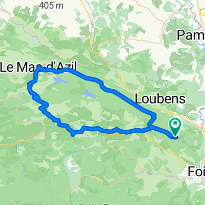 50k Flat To Mas d'Azil
- Distance
- 51.9 km
- Ascent
- 570 m
- Descent
- 578 m
- Location
- Foix, Occitanie, France
 Bpf 09/11 Train : Foix/Lordat/La Fajolle/ St Hilaire
- Distance
- 272.5 km
- Ascent
- 2,560 m
- Descent
- 2,765 m
- Location
- Foix, Occitanie, France
 c2c 2-1
- Distance
- 150.6 km
- Ascent
- 2,567 m
- Descent
- 2,548 m
- Location
- Foix, Occitanie, France
 C2C 2-2 136km
- Distance
- 135.6 km
- Ascent
- 2,195 m
- Descent
- 2,176 m
- Location
- Foix, Occitanie, France
 2019-06 Foix - Circle to Col de Péguère
- Distance
- 76.9 km
- Ascent
- 1,138 m
- Descent
- 1,137 m
- Location
- Foix, Occitanie, France
 **16-M. Foix - Gaillac (156 Km)
- Distance
- 155.8 km
- Ascent
- 995 m
- Descent
- 1,284 m
- Location
- Foix, Occitanie, France
Open it in the app