

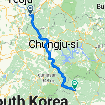
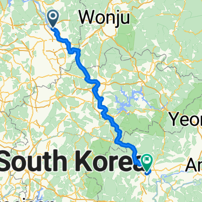
왕대리 27, 여주시 to 단현동 21-5, 여주시
A cycling route starting in Yeoju, Gyeonggi-do, South Korea.
Overview
About this route
- 56 min
- Duration
- 11.1 km
- Distance
- 80 m
- Ascent
- 76 m
- Descent
- 12 km/h
- Avg. speed
- 59 m
- Max. altitude
Route quality
Waytypes & surfaces along the route
Waytypes
Cycleway
9.8 km
(88 %)
Undefined
1.3 km
(12 %)
Surfaces
Paved
9.8 km
(88 %)
Asphalt
9.7 km
(87 %)
Wood
0.1 km
(1 %)
Undefined
1.3 km
(12 %)
Continue with Bikemap
Use, edit, or download this cycling route
You would like to ride 왕대리 27, 여주시 to 단현동 21-5, 여주시 or customize it for your own trip? Here is what you can do with this Bikemap route:
Free features
- Save this route as favorite or in collections
- Copy & plan your own version of this route
- Sync your route with Garmin or Wahoo
Premium features
Free trial for 3 days, or one-time payment. More about Bikemap Premium.
- Navigate this route on iOS & Android
- Export a GPX / KML file of this route
- Create your custom printout (try it for free)
- Download this route for offline navigation
Discover more Premium features.
Get Bikemap PremiumFrom our community
Other popular routes starting in Yeoju
 왕대리, 여주시에서 양평군까지
- Distance
- 23.7 km
- Ascent
- 176 m
- Descent
- 177 m
- Location
- Yeoju, Gyeonggi-do, South Korea
 Yeoju - Mungyeong
- Distance
- 96.8 km
- Ascent
- 1,946 m
- Descent
- 1,913 m
- Location
- Yeoju, Gyeonggi-do, South Korea
 Route in Suwon
- Distance
- 106.5 km
- Ascent
- 1,672 m
- Descent
- 1,672 m
- Location
- Yeoju, Gyeonggi-do, South Korea
 Yeoju to Suanbo
- Distance
- 85.8 km
- Ascent
- 1,130 m
- Descent
- 989 m
- Location
- Yeoju, Gyeonggi-do, South Korea
 day maybe 2
- Distance
- 92.8 km
- Ascent
- 1,488 m
- Descent
- 1,355 m
- Location
- Yeoju, Gyeonggi-do, South Korea
 여주-15마감산-60턱거리고개-81용문산터널-88학곡길고개-93양평 1528m
- Distance
- 93.1 km
- Ascent
- 1,528 m
- Descent
- 1,545 m
- Location
- Yeoju, Gyeonggi-do, South Korea
 Yeoju - Koesan
- Distance
- 90.5 km
- Ascent
- 919 m
- Descent
- 874 m
- Location
- Yeoju, Gyeonggi-do, South Korea
 당산리, 여주시에서 중앙7길, 문경시까지
- Distance
- 156.9 km
- Ascent
- 1,117 m
- Descent
- 1,086 m
- Location
- Yeoju, Gyeonggi-do, South Korea
Open it in the app