Erste Etappe des Mauerwegs (Teltow-Staaken)
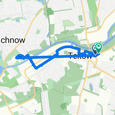
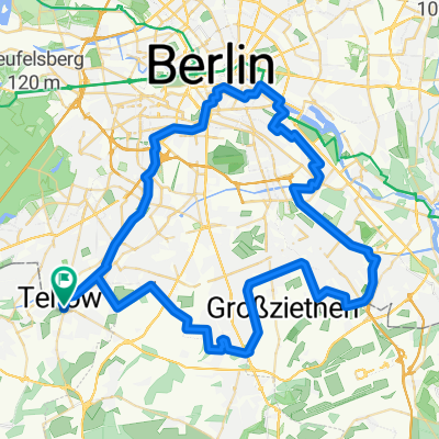
A cycling route starting in Teltow, Brandenburg, Germany.
Overview
About this route
This is the first stage of the Mauerweg. It runs from Teltow to Staaken.
- 2 h 57 min
- Duration
- 46.7 km
- Distance
- 287 m
- Ascent
- 298 m
- Descent
- 15.8 km/h
- Avg. speed
- 78 m
- Max. altitude
Route quality
Waytypes & surfaces along the route
Waytypes
Path
14.5 km
(31 %)
Quiet road
10.7 km
(23 %)
Surfaces
Paved
32.7 km
(70 %)
Unpaved
6.5 km
(14 %)
Asphalt
29.4 km
(63 %)
Concrete
3.3 km
(7 %)
Route highlights
Points of interest along the route
Point of interest after 8.6 km
Checkpoint Bravo
Point of interest after 18.3 km
Schloss Glienicke
Point of interest after 18.6 km
Glienicker Brücke
Point of interest after 27.4 km
Großer Wannsee
Point of interest after 45 km
Fort Hahneberg
Continue with Bikemap
Use, edit, or download this cycling route
You would like to ride Erste Etappe des Mauerwegs (Teltow-Staaken) or customize it for your own trip? Here is what you can do with this Bikemap route:
Free features
- Save this route as favorite or in collections
- Copy & plan your own version of this route
- Sync your route with Garmin or Wahoo
Premium features
Free trial for 3 days, or one-time payment. More about Bikemap Premium.
- Navigate this route on iOS & Android
- Export a GPX / KML file of this route
- Create your custom printout (try it for free)
- Download this route for offline navigation
Discover more Premium features.
Get Bikemap PremiumFrom our community
Other popular routes starting in Teltow
- Teltow-Wittenberg 2007
- Distance
- 91.7 km
- Ascent
- 280 m
- Descent
- 236 m
- Location
- Teltow, Brandenburg, Germany
- Teltow - Königswusterhausen
- Distance
- 32 km
- Ascent
- 94 m
- Descent
- 96 m
- Location
- Teltow, Brandenburg, Germany
- Teltow-Ketzin
- Distance
- 81.8 km
- Ascent
- 127 m
- Descent
- 128 m
- Location
- Teltow, Brandenburg, Germany
- Lange Radrunde durch Teltow
- Distance
- 44.3 km
- Ascent
- 47 m
- Descent
- 48 m
- Location
- Teltow, Brandenburg, Germany
- Lupsteiner Weg 21, Berlin nach Lupsteiner Weg 24, Berlin
- Distance
- 16.3 km
- Ascent
- 42 m
- Descent
- 43 m
- Location
- Teltow, Brandenburg, Germany
- Mark Brandenburg südl Teltow/Stahnsdorf
- Distance
- 21.4 km
- Ascent
- 38 m
- Descent
- 33 m
- Location
- Teltow, Brandenburg, Germany
- Erste Etappe des Mauerwegs (Teltow-Staaken)
- Distance
- 46.7 km
- Ascent
- 287 m
- Descent
- 298 m
- Location
- Teltow, Brandenburg, Germany
- Berlin deel 1
- Distance
- 62.4 km
- Ascent
- 155 m
- Descent
- 162 m
- Location
- Teltow, Brandenburg, Germany
Open it in the app