

Zweite Etappe des Mauerwegs (Spandau-Schönholz)
A cycling route starting in Staaken, State of Berlin, Germany.
Overview
About this route
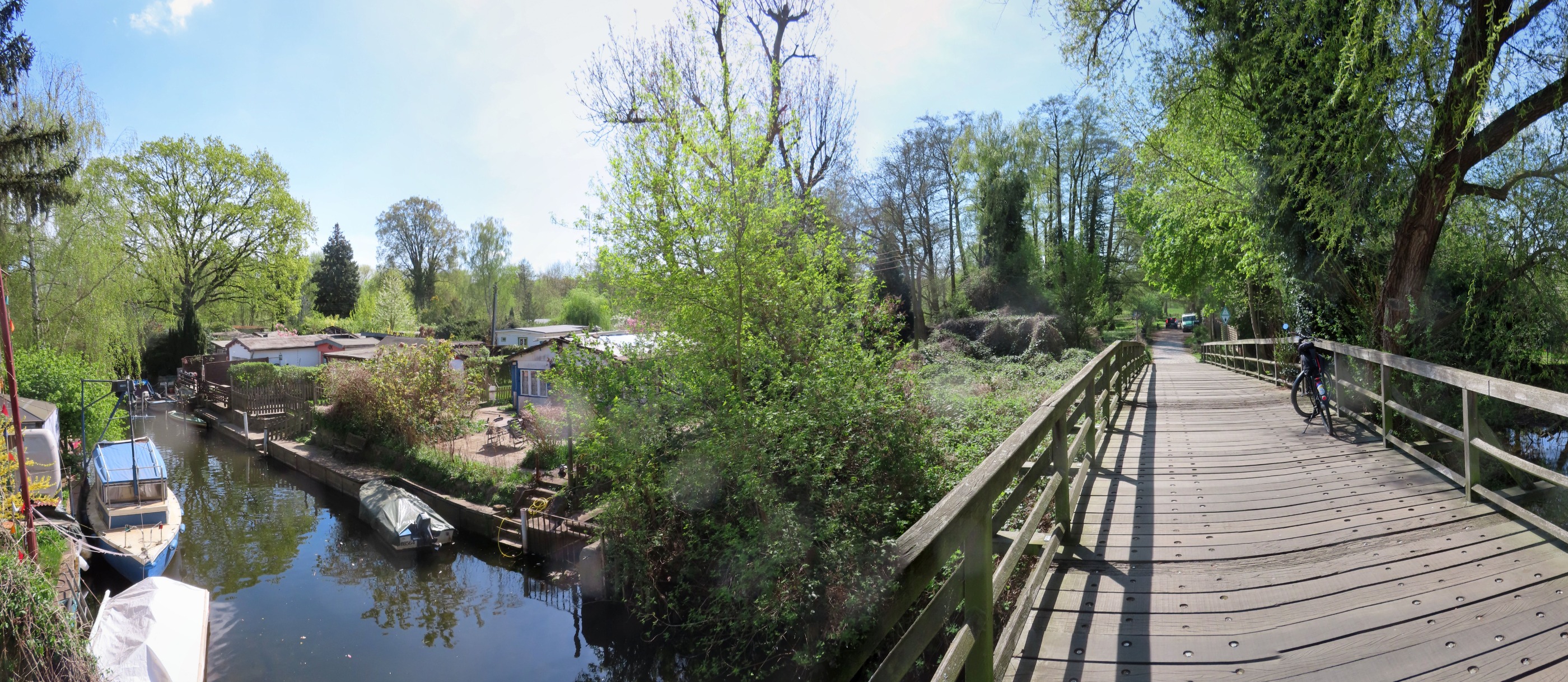
This is the second stage of the Berlin Wall Trail. It goes from Staaken to Schönholz.
- 3 h 3 min
- Duration
- 48.7 km
- Distance
- 224 m
- Ascent
- 210 m
- Descent
- 15.9 km/h
- Avg. speed
- 67 m
- Max. altitude

Route quality
Waytypes & surfaces along the route
Waytypes
Path
23.9 km
(49 %)
Track
10.2 km
(21 %)
Surfaces
Paved
42.4 km
(87 %)
Unpaved
1.5 km
(3 %)
Asphalt
41.9 km
(86 %)
Concrete
0.5 km
(1 %)
Route highlights
Points of interest along the route
Point of interest after 15.1 km
Grenzturm Nieder Neuendorf
Continue with Bikemap
Use, edit, or download this cycling route
You would like to ride Zweite Etappe des Mauerwegs (Spandau-Schönholz) or customize it for your own trip? Here is what you can do with this Bikemap route:
Free features
- Save this route as favorite or in collections
- Copy & plan your own version of this route
- Sync your route with Garmin or Wahoo
Premium features
Free trial for 3 days, or one-time payment. More about Bikemap Premium.
- Navigate this route on iOS & Android
- Export a GPX / KML file of this route
- Create your custom printout (try it for free)
- Download this route for offline navigation
Discover more Premium features.
Get Bikemap PremiumFrom our community
Other popular routes starting in Staaken
 Mauerweg
- Distance
- 158.8 km
- Ascent
- 145 m
- Descent
- 143 m
- Location
- Staaken, State of Berlin, Germany
 Home-Johannesstift
- Distance
- 7 km
- Ascent
- 22 m
- Descent
- 12 m
- Location
- Staaken, State of Berlin, Germany
 Staaken-Treff - Bullengraben - Tiefwerder Wiesen - Murellenschlucht - Rhlebener Wiesen - Staakentreff
- Distance
- 18.4 km
- Ascent
- 78 m
- Descent
- 79 m
- Location
- Staaken, State of Berlin, Germany
 2010_04_24 Döberitzer Heide
- Distance
- 24.5 km
- Ascent
- 104 m
- Descent
- 107 m
- Location
- Staaken, State of Berlin, Germany
 Breddiner Weg 7A, Berlin nach Breddiner Weg 7A, Berlin
- Distance
- 24.1 km
- Ascent
- 98 m
- Descent
- 88 m
- Location
- Staaken, State of Berlin, Germany
 Großer Havelland Rundkurs
- Distance
- 140.1 km
- Ascent
- 155 m
- Descent
- 158 m
- Location
- Staaken, State of Berlin, Germany
 Döberitzer Heide
- Distance
- 11.8 km
- Ascent
- 50 m
- Descent
- 18 m
- Location
- Staaken, State of Berlin, Germany
 Zweite Etappe des Mauerwegs (Spandau-Schönholz)
- Distance
- 48.7 km
- Ascent
- 224 m
- Descent
- 210 m
- Location
- Staaken, State of Berlin, Germany
Open it in the app