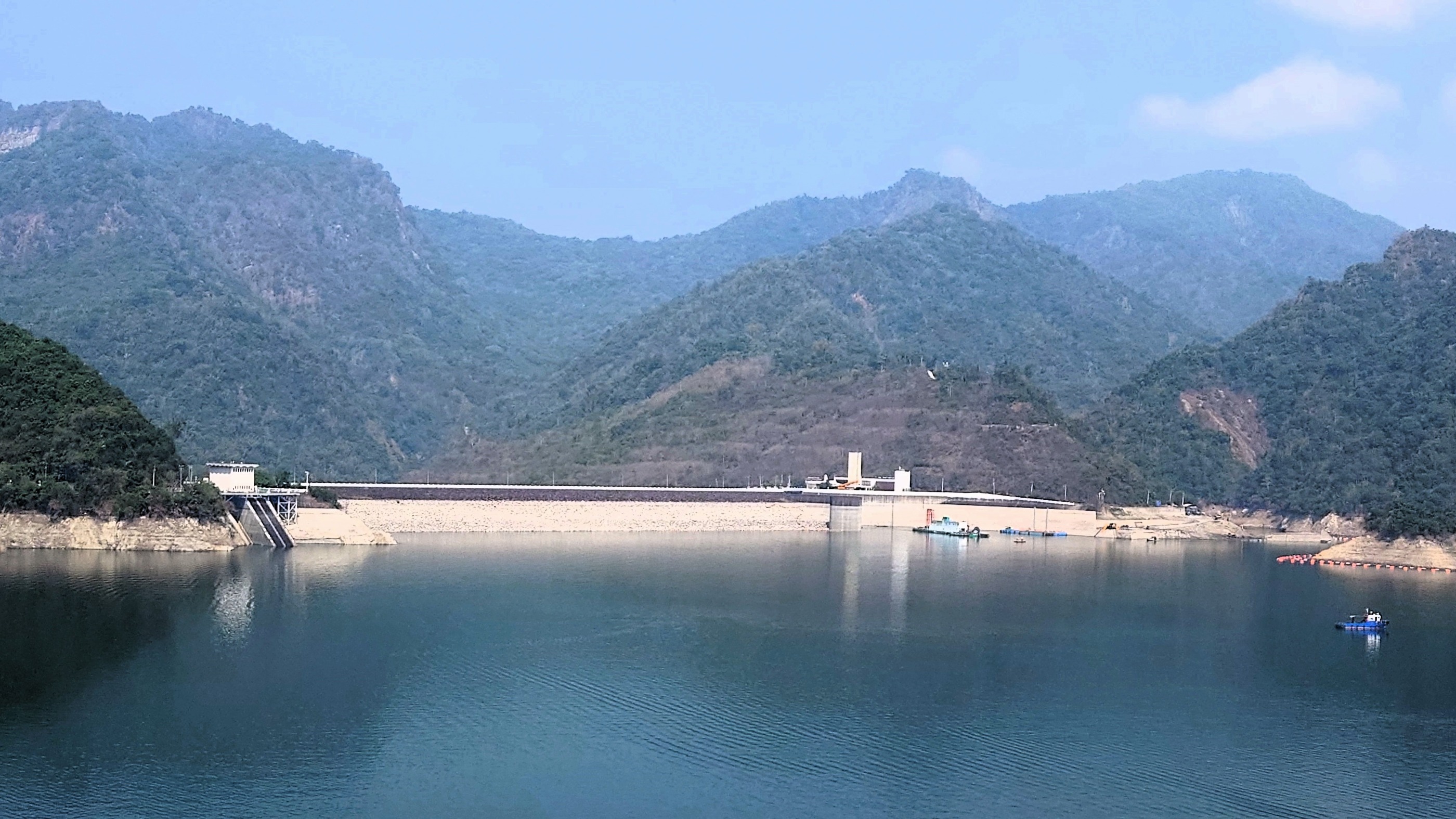
嘉義板頭厝
A cycling route starting in Taibao, Taiwan, Taiwan.
Overview
About this route
提供越多的資訊,越能幫助其他人利用您的路線* 過程* 特殊的地方* 為何推薦* 特點* 等等
- -:--
- Duration
- 29.8 km
- Distance
- 30 m
- Ascent
- 34 m
- Descent
- ---
- Avg. speed
- ---
- Max. altitude
Route quality
Waytypes & surfaces along the route
Waytypes
Busy road
11.9 km
(40 %)
Access road
6.2 km
(21 %)
Surfaces
Paved
1.9 km
(6 %)
Asphalt
1.7 km
(6 %)
Paved (undefined)
0.2 km
(<1 %)
Undefined
28 km
(94 %)
Continue with Bikemap
Use, edit, or download this cycling route
You would like to ride 嘉義板頭厝 or customize it for your own trip? Here is what you can do with this Bikemap route:
Free features
- Save this route as favorite or in collections
- Copy & plan your own version of this route
- Sync your route with Garmin or Wahoo
Premium features
Free trial for 3 days, or one-time payment. More about Bikemap Premium.
- Navigate this route on iOS & Android
- Export a GPX / KML file of this route
- Create your custom printout (try it for free)
- Download this route for offline navigation
Discover more Premium features.
Get Bikemap PremiumFrom our community
Other popular routes starting in Taibao
 Day 4-0521
- Distance
- 78.8 km
- Ascent
- 72 m
- Descent
- 94 m
- Location
- Taibao, Taiwan, Taiwan
 DAY 2
DAY 2- Distance
- 89.1 km
- Ascent
- 24 m
- Descent
- 38 m
- Location
- Taibao, Taiwan, Taiwan
 朴子溪自行車道
- Distance
- 31.4 km
- Ascent
- 74 m
- Descent
- 74 m
- Location
- Taibao, Taiwan, Taiwan
 青春作伴好還鄉5_北港台南_A
- Distance
- 89.9 km
- Ascent
- 37 m
- Descent
- 40 m
- Location
- Taibao, Taiwan, Taiwan
 台南後壁-阿里山
- Distance
- 88.7 km
- Ascent
- 2,367 m
- Descent
- 213 m
- Location
- Taibao, Taiwan, Taiwan
 北港到南科
北港到南科- Distance
- 68.3 km
- Ascent
- 44 m
- Descent
- 51 m
- Location
- Taibao, Taiwan, Taiwan
 2024-03-16 08:56:10嘉義曾文水庫單車行(順走蘭潭仁義潭白河水庫)
- Distance
- 270.2 km
- Ascent
- 9,010 m
- Descent
- 9,010 m
- Location
- Taibao, Taiwan, Taiwan
 20080927 雲林/湖口自行車道
- Distance
- 90.4 km
- Ascent
- 16 m
- Descent
- 16 m
- Location
- Taibao, Taiwan, Taiwan
Open it in the app

