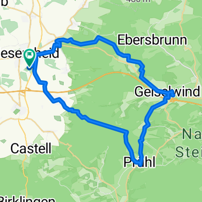
Route.KIT_07
- 86.6 km
- 1,286 m
- 1,287 m
- Wiesentheid, Bavaria, Germany
A cycling route starting in Wiesentheid, Bavaria, Germany.
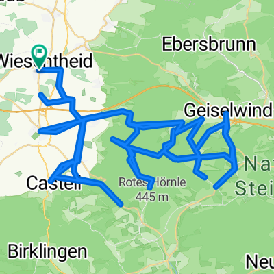
Overview
created this 2 years ago
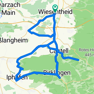
Route quality
Path
7.1 km
(52 %)
Road
2.1 km
(15 %)
Paved
11.6 km
(85 %)
Asphalt
10.8 km
(79 %)
Paved (undefined)
0.8 km
(6 %)
Undefined
2.1 km
(15 %)
Continue with Bikemap
You would like to ride Brückleinstraße 2A, Wiesentheid to Schweinfurter Straße 90, Schwarzach am Main or customize it for your own trip? Here is what you can do with this Bikemap route:
Free trial for 3 days, or one-time payment. More about Bikemap Premium.
Discover more Premium features.
Get Bikemap PremiumFrom our community
Open it in the app