
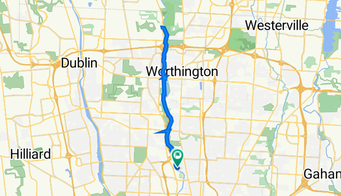
301 W Pacemont Rd, Columbus to South Clintonville, Columbus
A cycling route starting in Upper Arlington, Ohio, United States.
Overview
About this route
- 1 h 40 min
- Duration
- 27.6 km
- Distance
- 95 m
- Ascent
- 96 m
- Descent
- 16.5 km/h
- Avg. speed
- 234 m
- Max. altitude

Route quality
Waytypes & surfaces along the route
Waytypes
Cycleway
24 km
(87 %)
Quiet road
2.2 km
(8 %)
Surfaces
Paved
14.3 km
(52 %)
Asphalt
14.3 km
(52 %)
Undefined
13.2 km
(48 %)
Continue with Bikemap
Use, edit, or download this cycling route
You would like to ride 301 W Pacemont Rd, Columbus to South Clintonville, Columbus or customize it for your own trip? Here is what you can do with this Bikemap route:
Free features
- Save this route as favorite or in collections
- Copy & plan your own version of this route
- Sync your route with Garmin or Wahoo
Premium features
Free trial for 3 days, or one-time payment. More about Bikemap Premium.
- Navigate this route on iOS & Android
- Export a GPX / KML file of this route
- Create your custom printout (try it for free)
- Download this route for offline navigation
Discover more Premium features.
Get Bikemap PremiumFrom our community
Other popular routes starting in Upper Arlington
 301 W Pacemont Rd, Columbus to South Clintonville, Columbus
- Distance
- 27.6 km
- Ascent
- 95 m
- Descent
- 96 m
- Location
- Upper Arlington, Ohio, United States
 75 W Lakeview Ave, Columbus to 81 W Lakeview Ave, Columbus
- Distance
- 24.1 km
- Ascent
- 734 m
- Descent
- 734 m
- Location
- Upper Arlington, Ohio, United States
 East California Avenue 60-62, Columbus to East College Street 203, Granville
- Distance
- 71.5 km
- Ascent
- 361 m
- Descent
- 301 m
- Location
- Upper Arlington, Ohio, United States
 Whole Foods Lane to Whole Foods Easton
- Distance
- 20.6 km
- Ascent
- 82 m
- Descent
- 75 m
- Location
- Upper Arlington, Ohio, United States
 7.5 mile one way
- Distance
- 10.9 km
- Ascent
- 16 m
- Descent
- 49 m
- Location
- Upper Arlington, Ohio, United States
 loop #1
- Distance
- 6.7 km
- Ascent
- 11 m
- Descent
- 13 m
- Location
- Upper Arlington, Ohio, United States
 1770 Drayton Park Ct, Columbus to 1758 Drayton Park Ct, Columbus
- Distance
- 17.1 km
- Ascent
- 500 m
- Descent
- 500 m
- Location
- Upper Arlington, Ohio, United States
 WF to WF for Feb YAY (west to east)
- Distance
- 20.7 km
- Ascent
- 87 m
- Descent
- 83 m
- Location
- Upper Arlington, Ohio, United States
Open it in the app