
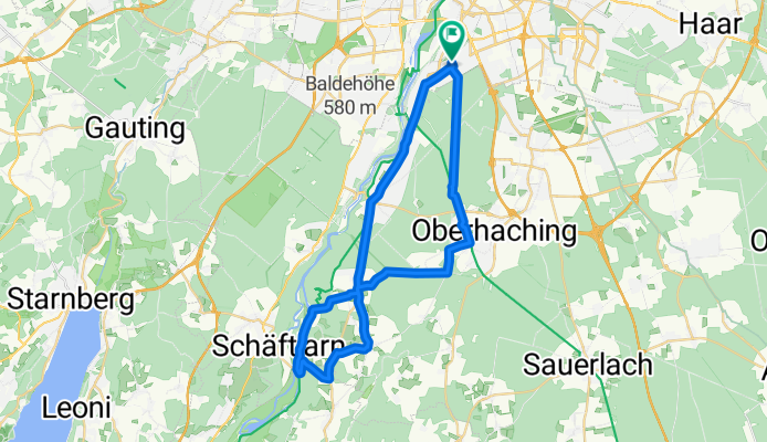
Harlaching - Isarkanal und zurück
A cycling route starting in Unterhaching, Bavaria, Germany.
Overview
About this route
Eine weitere Möglichkeit, sich den Abend zu vertreiben. Laut Tacho: 239hm und 41,3km
- -:--
- Duration
- 39.7 km
- Distance
- 287 m
- Ascent
- 280 m
- Descent
- ---
- Avg. speed
- 684 m
- Max. altitude
Route quality
Waytypes & surfaces along the route
Waytypes
Quiet road
16.6 km
(42 %)
Path
9.1 km
(23 %)
Surfaces
Paved
38.6 km
(97 %)
Unpaved
0.3 km
(<1 %)
Asphalt
38.6 km
(97 %)
Ground
0.3 km
(<1 %)
Continue with Bikemap
Use, edit, or download this cycling route
You would like to ride Harlaching - Isarkanal und zurück or customize it for your own trip? Here is what you can do with this Bikemap route:
Free features
- Save this route as favorite or in collections
- Copy & plan your own version of this route
- Sync your route with Garmin or Wahoo
Premium features
Free trial for 3 days, or one-time payment. More about Bikemap Premium.
- Navigate this route on iOS & Android
- Export a GPX / KML file of this route
- Create your custom printout (try it for free)
- Download this route for offline navigation
Discover more Premium features.
Get Bikemap PremiumFrom our community
Other popular routes starting in Unterhaching
 Klasse Runde
- Distance
- 78 km
- Ascent
- 322 m
- Descent
- 322 m
- Location
- Unterhaching, Bavaria, Germany
 ala Sabrina München- Bad Tölz- München
- Distance
- 105.1 km
- Ascent
- 499 m
- Descent
- 499 m
- Location
- Unterhaching, Bavaria, Germany
 Münchner Forste-Gleißental-Trailtour
- Distance
- 35.5 km
- Ascent
- 87 m
- Descent
- 88 m
- Location
- Unterhaching, Bavaria, Germany
 Münchner Perlacher Forst-Trails (Variante A)
- Distance
- 19.9 km
- Ascent
- 22 m
- Descent
- 22 m
- Location
- Unterhaching, Bavaria, Germany
 Münchner Perlacher Forst-Trails (Variante B)
- Distance
- 11.7 km
- Ascent
- 12 m
- Descent
- 12 m
- Location
- Unterhaching, Bavaria, Germany
 Feierabendrunde: Ludwigshöhe
- Distance
- 36.6 km
- Ascent
- 188 m
- Descent
- 200 m
- Location
- Unterhaching, Bavaria, Germany
 Wendelstein Runde
- Distance
- 176.6 km
- Ascent
- 1,432 m
- Descent
- 1,377 m
- Location
- Unterhaching, Bavaria, Germany
 Harlaching - Isarkanal und zurück
- Distance
- 39.7 km
- Ascent
- 287 m
- Descent
- 280 m
- Location
- Unterhaching, Bavaria, Germany
Open it in the app