

CONTRAPEDAL: La Plata -Punta Indio con Camping
A cycling route starting in La Plata, Buenos Aires, Argentina.
Overview
About this route
Two-day camping trip to Punta Indio It is suggested to visit and/or pass by the road of los Borrachos, Magdalena, Atalaya and camp in Punta Indio.
The road from Magdalena to Punta Indio is extremely tiring and difficult, especially if done in hot weather. Conchilla + a lot of pianitos + more sections of very soft ground and sand.
For the return, it is recommended to take the asphalt road up to Veronica and then route 36.
- -:--
- Duration
- 216.6 km
- Distance
- 60 m
- Ascent
- 58 m
- Descent
- ---
- Avg. speed
- ---
- Max. altitude

Route quality
Waytypes & surfaces along the route
Waytypes
Quiet road
78 km
(36 %)
Road
45.5 km
(21 %)
Surfaces
Paved
123.5 km
(57 %)
Unpaved
71.5 km
(33 %)
Asphalt
95.3 km
(44 %)
Unpaved (undefined)
34.7 km
(16 %)
Route highlights
Points of interest along the route
Point of interest after 0 km
Estacion La Plata consultar siempre horarios de vuelta!!!
Continue with Bikemap
Use, edit, or download this cycling route
You would like to ride CONTRAPEDAL: La Plata -Punta Indio con Camping or customize it for your own trip? Here is what you can do with this Bikemap route:
Free features
- Save this route as favorite or in collections
- Copy & plan your own version of this route
- Split it into stages to create a multi-day tour
- Sync your route with Garmin or Wahoo
Premium features
Free trial for 3 days, or one-time payment. More about Bikemap Premium.
- Navigate this route on iOS & Android
- Export a GPX / KML file of this route
- Create your custom printout (try it for free)
- Download this route for offline navigation
Discover more Premium features.
Get Bikemap PremiumFrom our community
Other popular routes starting in La Plata
 parque eco
- Distance
- 10.1 km
- Ascent
- 188 m
- Descent
- 181 m
- Location
- La Plata, Buenos Aires, Argentina
 -34.900, -58.042 a -34.900, -58.042
- Distance
- 37.8 km
- Ascent
- 84 m
- Descent
- 84 m
- Location
- La Plata, Buenos Aires, Argentina
 Villa Elisa - Gomez - City Bell
- Distance
- 62.9 km
- Ascent
- 48 m
- Descent
- 41 m
- Location
- La Plata, Buenos Aires, Argentina
 De Calle a Trieste
- Distance
- 19.3 km
- Ascent
- 52 m
- Descent
- 58 m
- Location
- La Plata, Buenos Aires, Argentina
 La Plata - La Balandra - Berisso
- Distance
- 68 km
- Ascent
- 55 m
- Descent
- 55 m
- Location
- La Plata, Buenos Aires, Argentina
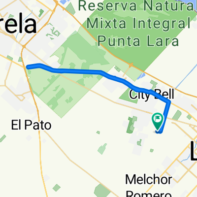
 villa eliza/punta lara
- Distance
- 36 km
- Ascent
- 32 m
- Descent
- 33 m
- Location
- La Plata, Buenos Aires, Argentina
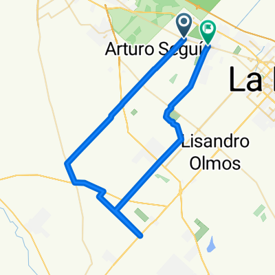
 Vuelta grande
- Distance
- 94 km
- Ascent
- 103 m
- Descent
- 105 m
- Location
- La Plata, Buenos Aires, Argentina
 La Plata - Bahía Blanca - 2012
- Distance
- 672.2 km
- Ascent
- 510 m
- Descent
- 471 m
- Location
- La Plata, Buenos Aires, Argentina
Open it in the app