

Terveystie 1, Hollola to Tiilijärventie 1 A, Hollola
A cycling route starting in Hollola, Paijat-Hame, Finland.
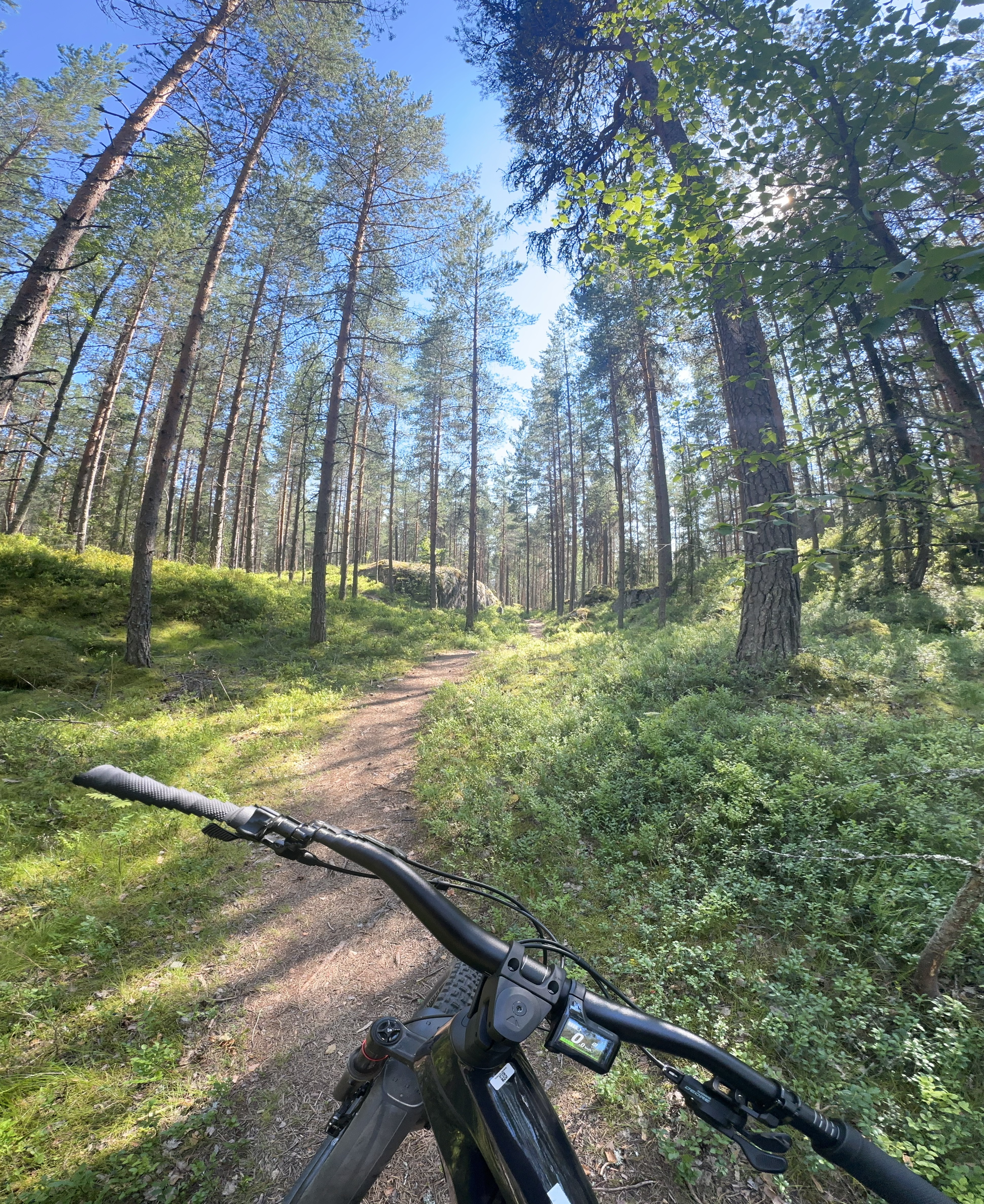
Overview
About this route
- 1 h 43 min
- Duration
- 26.7 km
- Distance
- 198 m
- Ascent
- 204 m
- Descent
- 15.6 km/h
- Avg. speed
- 183 m
- Max. altitude
Route quality
Waytypes & surfaces along the route
Waytypes
Cycleway
17.6 km
(66 %)
Road
8.3 km
(31 %)
Access road
0.8 km
(3 %)
Surfaces
Paved
25.6 km
(96 %)
Unpaved
0.8 km
(3 %)
Asphalt
22.2 km
(83 %)
Paved (undefined)
3.5 km
(13 %)
Continue with Bikemap
Use, edit, or download this cycling route
You would like to ride Terveystie 1, Hollola to Tiilijärventie 1 A, Hollola or customize it for your own trip? Here is what you can do with this Bikemap route:
Free features
- Save this route as favorite or in collections
- Copy & plan your own version of this route
- Sync your route with Garmin or Wahoo
Premium features
Free trial for 3 days, or one-time payment. More about Bikemap Premium.
- Navigate this route on iOS & Android
- Export a GPX / KML file of this route
- Create your custom printout (try it for free)
- Download this route for offline navigation
Discover more Premium features.
Get Bikemap PremiumFrom our community
Other popular routes starting in Hollola
 II etap Messila_Sysma_Jyvaskyla_Nord Kapp
- Distance
- 190 km
- Ascent
- 636 m
- Descent
- 594 m
- Location
- Hollola, Paijat-Hame, Finland
 Route from Arvi Hauvosentie 7, Hollola
- Distance
- 15.9 km
- Ascent
- 260 m
- Descent
- 243 m
- Location
- Hollola, Paijat-Hame, Finland
 Reunakatu, Lahti to Reunakatu 21, Lahti
- Distance
- 7.6 km
- Ascent
- 158 m
- Descent
- 146 m
- Location
- Hollola, Paijat-Hame, Finland
 Tarmontie, Hollola to Metsänneidontie 6, Hollola
- Distance
- 25.1 km
- Ascent
- 166 m
- Descent
- 231 m
- Location
- Hollola, Paijat-Hame, Finland
 Reunakatu 21, Lahti to Reunakatu 21, Lahti
- Distance
- 7 km
- Ascent
- 214 m
- Descent
- 210 m
- Location
- Hollola, Paijat-Hame, Finland
 Työtie 12, Lahti to Vähä-Äiniöntie 483, Asikkala
- Distance
- 47.7 km
- Ascent
- 333 m
- Descent
- 362 m
- Location
- Hollola, Paijat-Hame, Finland
 Kinteriön kymppi, Lahti to Sykekatu 18, Lahti
- Distance
- 10 km
- Ascent
- 82 m
- Descent
- 83 m
- Location
- Hollola, Paijat-Hame, Finland
 Satamapolku, Messilä to Satamapolku, Messilä
- Distance
- 12.7 km
- Ascent
- 431 m
- Descent
- 428 m
- Location
- Hollola, Paijat-Hame, Finland
Open it in the app