La Berrychonne Alleycat
- 25.5 km
- 71 m
- 96 m
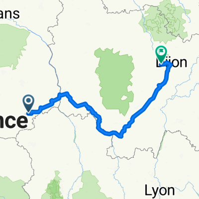
- Saint-Amand-Montrond, Centre-Val de Loire, France
A cycling route starting in Saint-Amand-Montrond, Centre-Val de Loire, France.
Overview
created this 2 years ago
Route quality
Road
18.9 km
(43 %)
Quiet road
18.9 km
(43 %)
Paved
10.1 km
(23 %)
Unpaved
0.9 km
(2 %)
Asphalt
10.1 km
(23 %)
Ground
0.9 km
(2 %)
Undefined
33 km
(75 %)
Continue with Bikemap
You would like to ride Saint-Amand-Montrond nach Rue de L Hôtel de ville 3, Sancoins or customize it for your own trip? Here is what you can do with this Bikemap route:
Free trial for 3 days, or one-time payment. More about Bikemap Premium.
Discover more Premium features.
Get Bikemap PremiumFrom our community
Open it in the app