

fjdjjs
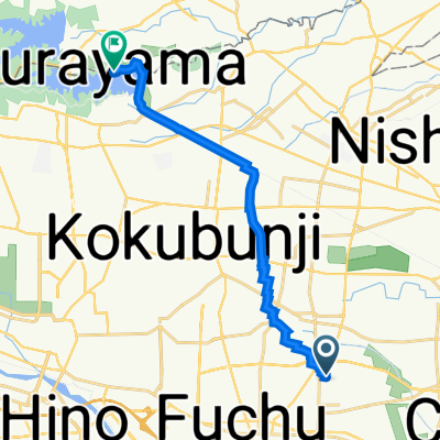
A cycling route starting in Kokubunji, Tokyo, Japan.
Overview
About this route
- -:--
- Duration
- 6 km
- Distance
- 52 m
- Ascent
- 45 m
- Descent
- ---
- Avg. speed
- 53 m
- Max. altitude

Route quality
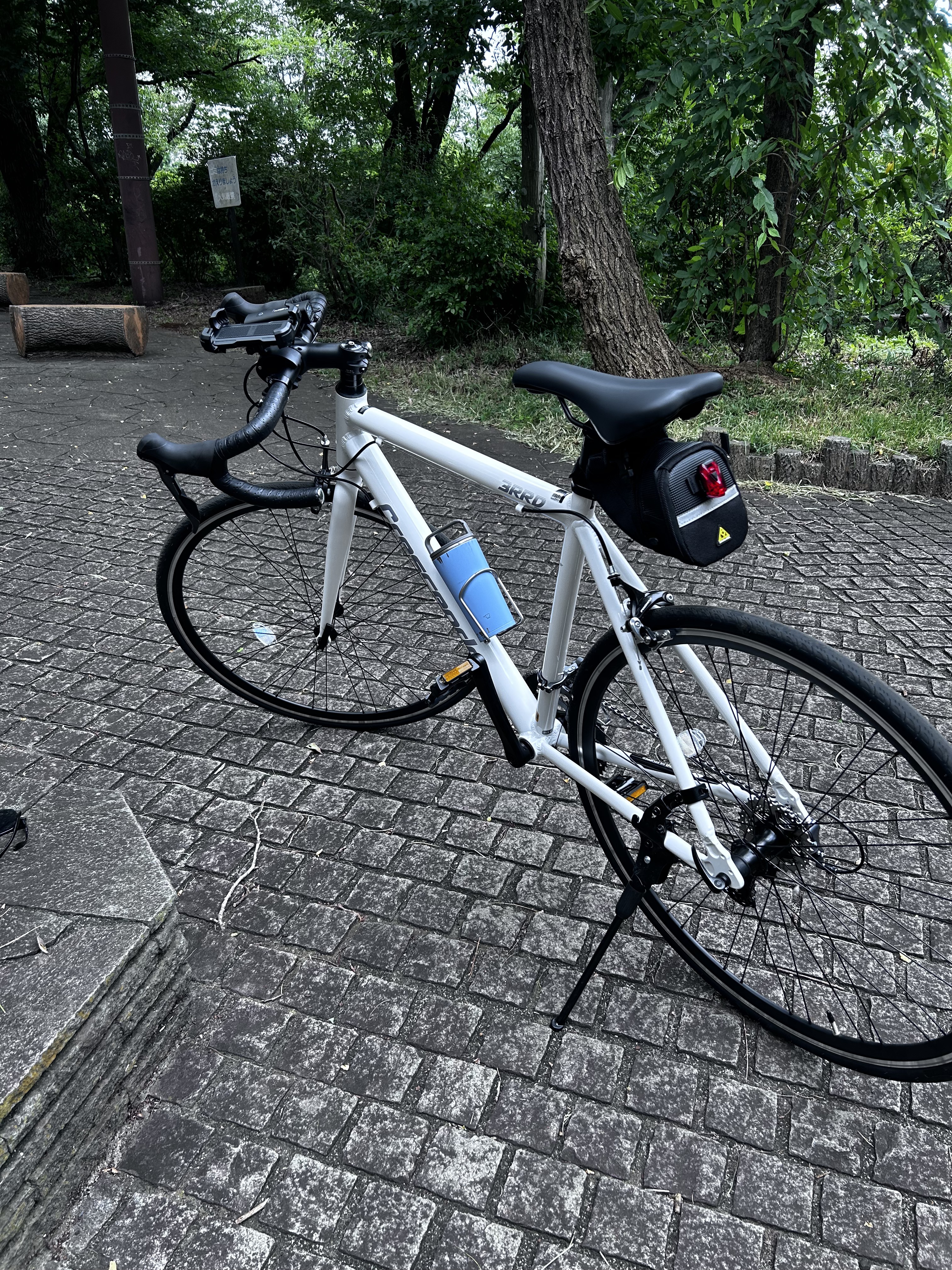
Waytypes & surfaces along the route
Waytypes
Cycleway
2.9 km
(49 %)
Quiet road
2.2 km
(37 %)
Road
0.8 km
(14 %)
Surfaces
Paved
3.2 km
(53 %)
Asphalt
3.2 km
(53 %)
Undefined
2.8 km
(47 %)
Continue with Bikemap
Use, edit, or download this cycling route
You would like to ride fjdjjs or customize it for your own trip? Here is what you can do with this Bikemap route:
Free features
- Save this route as favorite or in collections
- Copy & plan your own version of this route
- Sync your route with Garmin or Wahoo
Premium features
Free trial for 3 days, or one-time payment. More about Bikemap Premium.
- Navigate this route on iOS & Android
- Export a GPX / KML file of this route
- Create your custom printout (try it for free)
- Download this route for offline navigation
Discover more Premium features.
Get Bikemap PremiumFrom our community
Other popular routes starting in Kokubunji
 多摩湖サイクリング
- Distance
- 13.9 km
- Ascent
- 161 m
- Descent
- 108 m
- Location
- Kokubunji, Tokyo, Japan
 Takao Loop Line
- Distance
- 72.7 km
- Ascent
- 455 m
- Descent
- 452 m
- Location
- Kokubunji, Tokyo, Japan
 29, Higashi 2-Chōme, Kunitachi to Setagaya-dori Avenue, Komae
- Distance
- 18.4 km
- Ascent
- 124 m
- Descent
- 168 m
- Location
- Kokubunji, Tokyo, Japan
 1-19, Maeharacho 4-Chōme, Koganei to Tamako Cycling Pedestrian Road, Higashiyamato
- Distance
- 14.3 km
- Ascent
- 86 m
- Descent
- 24 m
- Location
- Kokubunji, Tokyo, Japan
 fjdjjs
- Distance
- 5.5 km
- Ascent
- 74 m
- Descent
- 69 m
- Location
- Kokubunji, Tokyo, Japan
 fjdjjs
- Distance
- 6 km
- Ascent
- 52 m
- Descent
- 45 m
- Location
- Kokubunji, Tokyo, Japan
 To Lake Okutama
- Distance
- 105.1 km
- Ascent
- 3,786 m
- Descent
- 3,693 m
- Location
- Kokubunji, Tokyo, Japan
 鈴木町1丁目, 小平市へ鈴木町1丁目, 小平市
- Distance
- 26 km
- Ascent
- 209 m
- Descent
- 215 m
- Location
- Kokubunji, Tokyo, Japan
Open it in the app