La Trank's
- 4.2 km
- 28 m
- 382 m
- Séez, Auvergne-Rhône-Alpes, France
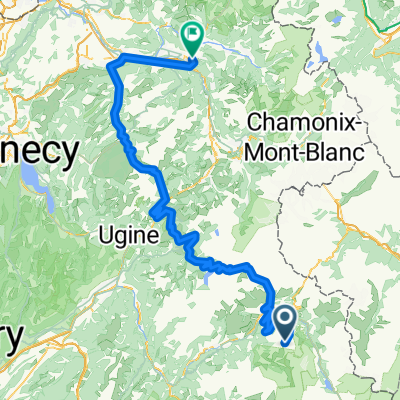
A cycling route starting in Séez, Auvergne-Rhône-Alpes, France.
Overview
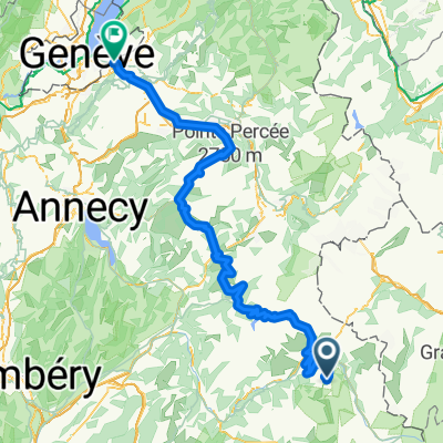
Tour über den Col de l'Iseran (2770 m), befahren mit vollbepacktem Reiserad.
created this 17 years ago
Route highlights
 Bourg St. Maurice - Vijaron\"")
Lac du Chevril
 Bourg St. Maurice - Vijaron\"")
Col de l'Iseran
 Bourg St. Maurice - Vijaron\"")
Bonneval sur Arc
 Bourg St. Maurice - Vijaron\"")
Camping bei Vijaron im Nationalpark de la Vanoise
Continue with Bikemap
You would like to ride Transalpine (11) Bourg St. Maurice - Vijaron or customize it for your own trip? Here is what you can do with this Bikemap route:
Free trial for 3 days, or one-time payment. More about Bikemap Premium.
Discover more Premium features.
Get Bikemap PremiumFrom our community
Open it in the app