![송죽동 390-14Ph0]으로 라우팅](https://media.bikemap.net/routes/17523117/gallery/thumbs/a42265c1-2129-4976-b3b6-55210c51286a.jpg.208x208_q80_crop.jpg)
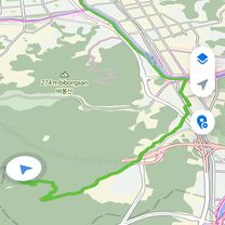
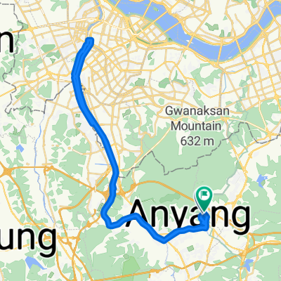
송죽동 390-14Ph0]으로 라우팅
- 69.3 km
- 218 m
- 228 m
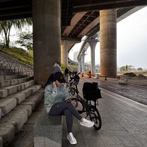
- Anyang-si, Gyeonggi-do, South Korea
A cycling route starting in Anyang-si, Gyeonggi-do, South Korea.
Overview
created this 2 years ago
Continue with Bikemap
You would like to ride Recovered Route or customize it for your own trip? Here is what you can do with this Bikemap route:
Free trial for 3 days, or one-time payment. More about Bikemap Premium.
Discover more Premium features.
Get Bikemap PremiumFrom our community
Open it in the app

![관양동 1443-2Ph0]으로 라우팅](https://media.bikemap.net/routes/17594541/gallery/thumbs/2ff09bfe-a75c-43bb-8e36-c04f88361a87.jpg.208x208_q80_crop.jpg)