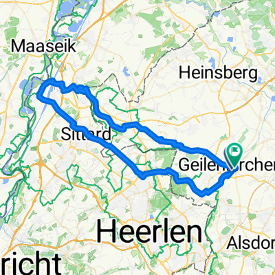
Route der Wingerter und Sabinerinnen
- 234.9 km
- 435 m
- 470 m
- Geilenkirchen, North Rhine-Westphalia, Germany
A cycling route starting in Geilenkirchen, North Rhine-Westphalia, Germany.
Overview
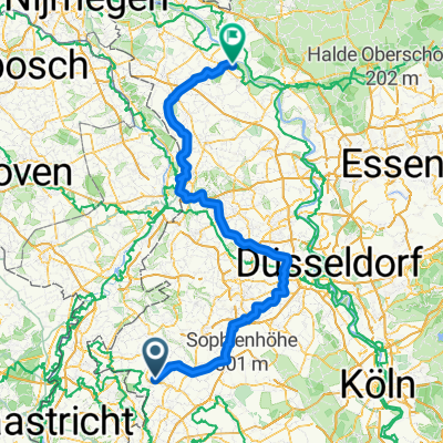
Selfkantbahn Cycling Tour
Near the Dutch border lies a gem of steam nostalgia: The Selfkantbahn, the last remaining narrow-gauge railway in the state of North Rhine-Westphalia. For about 70 years, the current Selfkantbahn served as the Geilenkirchen district railway on a 38 km route. Its primary goal was to develop the predominantly rural area in Germany's westernmost region, the Selfkant, and its neighboring areas.created this 14 years ago
Route quality
Track
27.6 km
(46 %)
Quiet road
18 km
(30 %)
Paved
43.2 km
(72 %)
Unpaved
4.8 km
(8 %)
Asphalt
37.8 km
(63 %)
Paved (undefined)
5.4 km
(9 %)
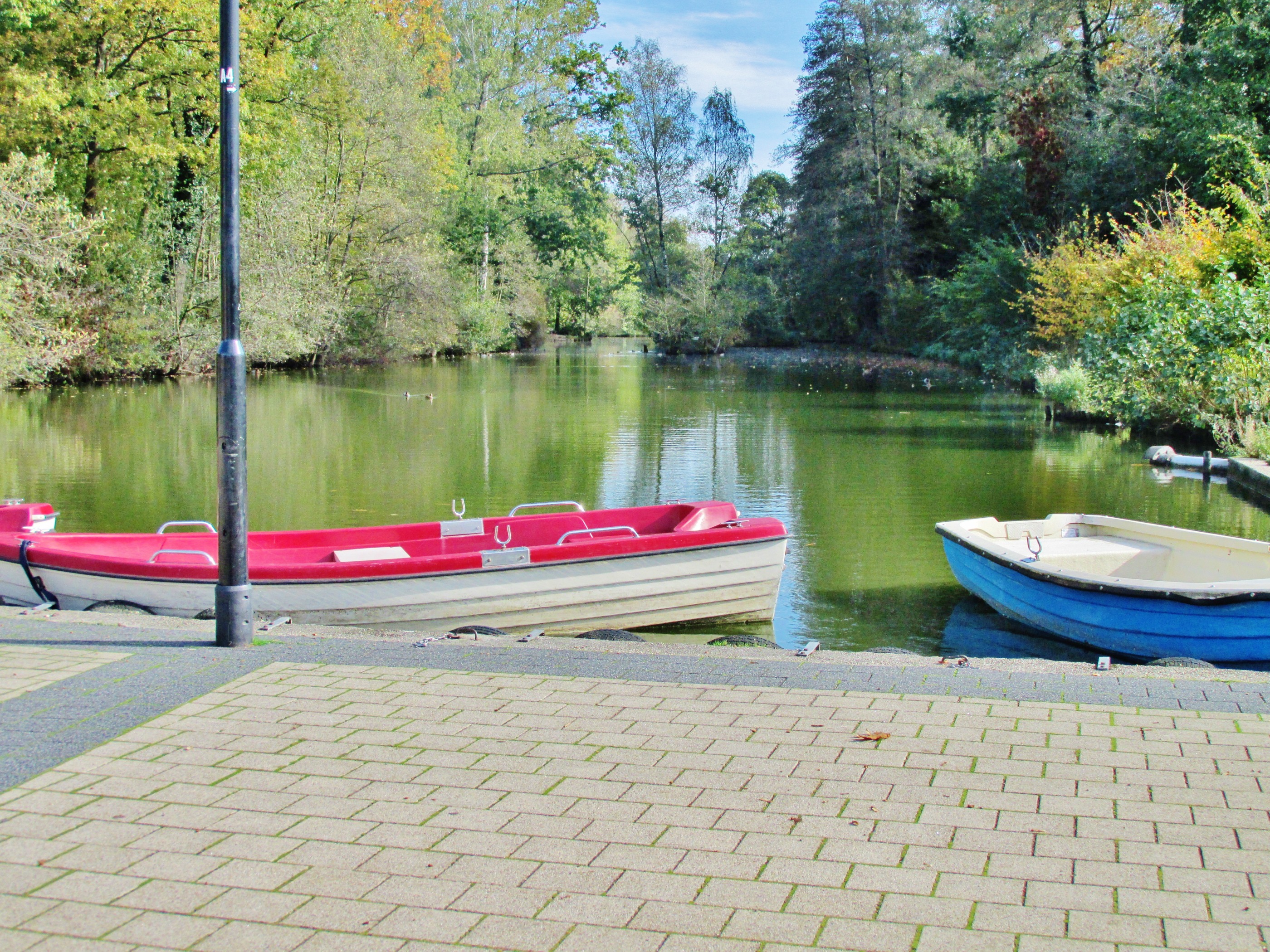
Route highlights

Geilenkirchen Bahnhof

Selfkantbahn im Bahnhof Gillrat

Zwischenhalt

der Selfkantbahn

Bahnstation Schierwaldenrath, Selfkantbahn.

Windmühle Breberen

Selfkant

Radweg bei Millen

Rodebach

Wildpark Gangelt

Worm
Continue with Bikemap
You would like to ride Selfkantbahn Radtour or customize it for your own trip? Here is what you can do with this Bikemap route:
Free trial for 3 days, or one-time payment. More about Bikemap Premium.
Discover more Premium features.
Get Bikemap PremiumFrom our community
Open it in the app