

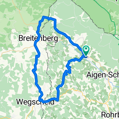
Schöneben-Plöckensteinersee
A cycling route starting in Ulrichsberg, Upper Austria, Austria.
Overview
About this route
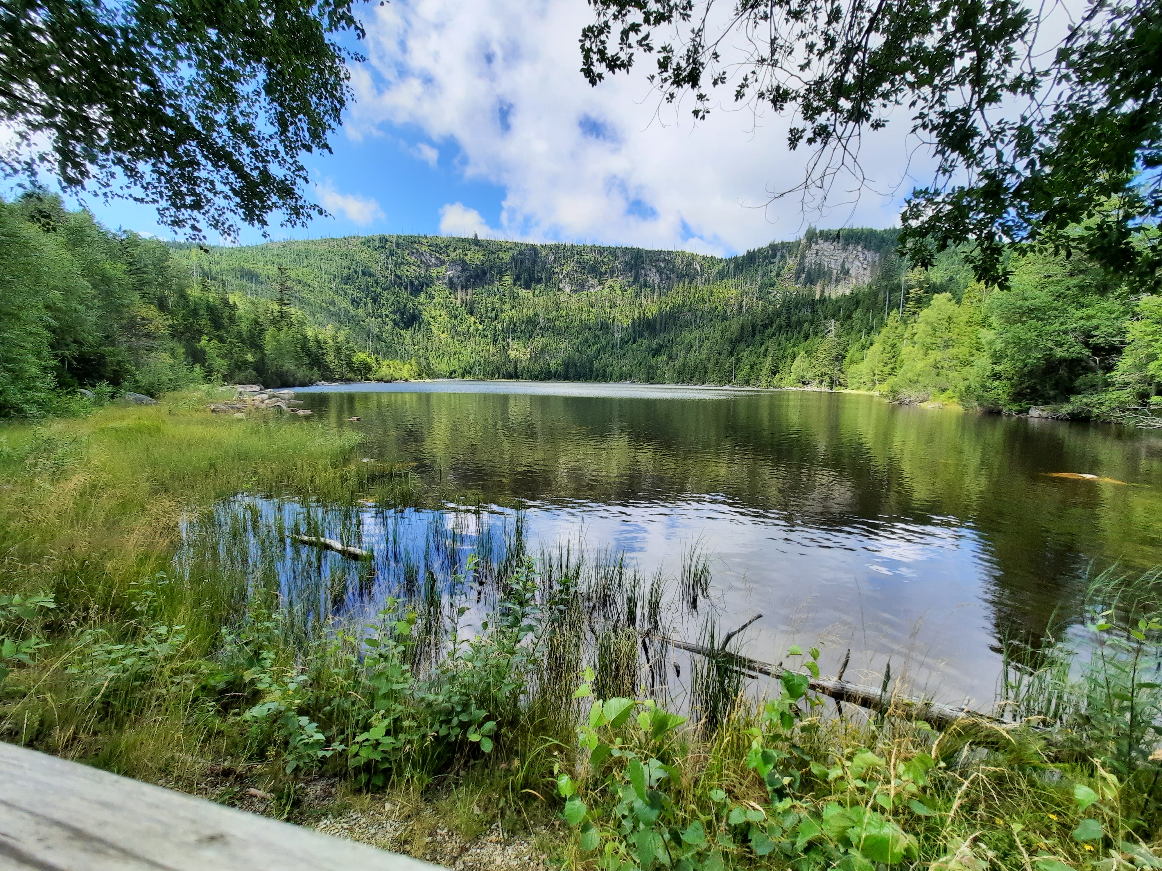
Start at Schöneben, Hochficht, Plöckenstein border crossing, Plöckensteinersee lake, 5 km same way back towards Novo Pec and along the drainage canal to the starting point.
- 1 h 35 min
- Duration
- 46.3 km
- Distance
- 783 m
- Ascent
- 786 m
- Descent
- 29.1 km/h
- Avg. speed
- 1,102 m
- Max. altitude

Route quality
Waytypes & surfaces along the route
Waytypes
Track
41.2 km
(89 %)
Road
3.2 km
(7 %)
Surfaces
Paved
27.3 km
(59 %)
Unpaved
15.8 km
(34 %)
Paved (undefined)
16.7 km
(36 %)
Gravel
15.8 km
(34 %)
Continue with Bikemap
Use, edit, or download this cycling route
You would like to ride Schöneben-Plöckensteinersee or customize it for your own trip? Here is what you can do with this Bikemap route:
Free features
- Save this route as favorite or in collections
- Copy & plan your own version of this route
- Sync your route with Garmin or Wahoo
Premium features
Free trial for 3 days, or one-time payment. More about Bikemap Premium.
- Navigate this route on iOS & Android
- Export a GPX / KML file of this route
- Create your custom printout (try it for free)
- Download this route for offline navigation
Discover more Premium features.
Get Bikemap PremiumFrom our community
Other popular routes starting in Ulrichsberg
 Dreisesselbergrunde2010
- Distance
- 91.4 km
- Ascent
- 1,139 m
- Descent
- 1,139 m
- Location
- Ulrichsberg, Upper Austria, Austria
 Schwarzenberg-Julbachrunde
- Distance
- 48.3 km
- Ascent
- 776 m
- Descent
- 776 m
- Location
- Ulrichsberg, Upper Austria, Austria
 Breitenberg - Cerneho jezera 105 km
- Distance
- 104.8 km
- Ascent
- 2,344 m
- Descent
- 1,991 m
- Location
- Ulrichsberg, Upper Austria, Austria
 Schöneben-Plöckensteinersee
- Distance
- 47.4 km
- Ascent
- 785 m
- Descent
- 796 m
- Location
- Ulrichsberg, Upper Austria, Austria
 Moderate route in Klaffer am Hochficht
- Distance
- 48.2 km
- Ascent
- 1,028 m
- Descent
- 1,031 m
- Location
- Ulrichsberg, Upper Austria, Austria
 Moldaustausee-Cesky Krumlovrunde
- Distance
- 94.1 km
- Ascent
- 1,099 m
- Descent
- 1,099 m
- Location
- Ulrichsberg, Upper Austria, Austria
 Plöckenstein-See-Runde
- Distance
- 41.1 km
- Ascent
- 835 m
- Descent
- 860 m
- Location
- Ulrichsberg, Upper Austria, Austria
 Lusweg 7, Klaffer am Hochficht nach Lusweg 5, Klaffer am Hochficht
- Distance
- 0.2 km
- Ascent
- 0 m
- Descent
- 0 m
- Location
- Ulrichsberg, Upper Austria, Austria
Open it in the app