

Velolager 2025
Velolager 2025.2 di Othmarsingen - Muttenz
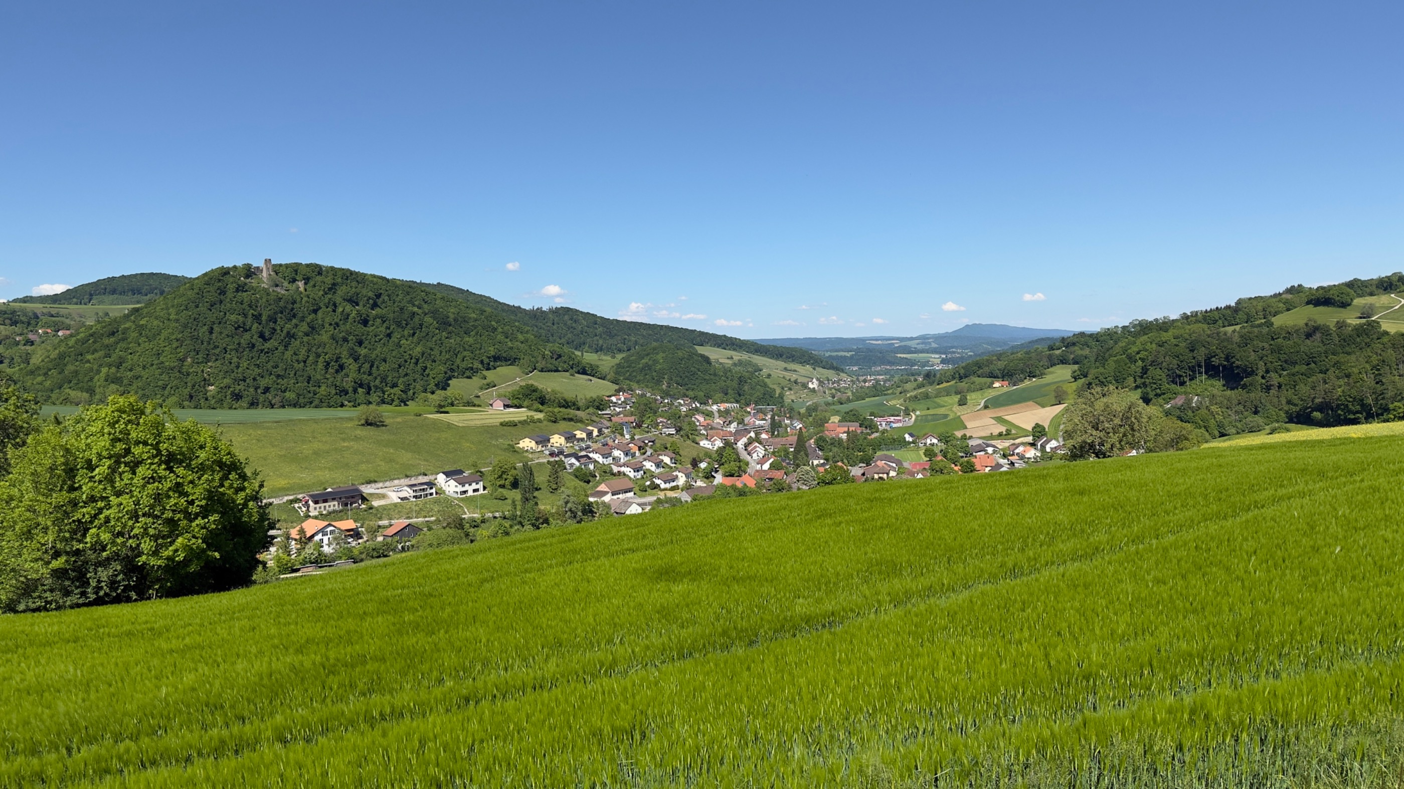
A cycling route starting in Othmarsingen, Canton of Aargau, Switzerland.
Overview
About this route
- -:--
- Duration
- 69.1 km
- Distance
- 578 m
- Ascent
- 710 m
- Descent
- ---
- Avg. speed
- 583 m
- Max. altitude

Part of
4 stages
Route quality
Waytypes & surfaces along the route
Waytypes
Track
22.8 km
(33 %)
Quiet road
22.1 km
(32 %)
Surfaces
Paved
45.6 km
(66 %)
Unpaved
15.2 km
(22 %)
Asphalt
44.3 km
(64 %)
Gravel
14.5 km
(21 %)
Route highlights
Points of interest along the route
Accommodation after 0 km
Schulanlage Othmarsingen Schulstrasse 10 5504 Othmarsingen
Point of interest after 12 km
Znüni Badi Villnachern Aarhofweg 3 5213 Villnachern
Point of interest after 16.5 km
Zmittag Parkplatz Rest. Bären Neustalden 6 5225 Bötzberg
Point of interest after 52.3 km
Zvieri Stadtpark Rheinfelden
Point of interest after 62.2 km
Schwimmbad Sandgruben Giebenacherstr. 10 4133 Pratteln
Accommodation after 68.4 km
Römisch-katholische Kirche Johannes Maria Vianney Tramstrasse 53 4132 Muttenz
Point of interest after 68.7 km
Hallenbad Muttenz Baselstrasse 89, 4132 Muttenz
Continue with Bikemap
Use, edit, or download this cycling route
You would like to ride Velolager 2025.2 di Othmarsingen - Muttenz or customize it for your own trip? Here is what you can do with this Bikemap route:
Free features
- Save this route as favorite or in collections
- Copy & plan your own version of this route
- Sync your route with Garmin or Wahoo
Premium features
Free trial for 3 days, or one-time payment. More about Bikemap Premium.
- Navigate this route on iOS & Android
- Export a GPX / KML file of this route
- Create your custom printout (try it for free)
- Download this route for offline navigation
Discover more Premium features.
Get Bikemap PremiumFrom our community
Other popular routes starting in Othmarsingen
 Mägenwil-Hägglingen-Wohlenschwil-Mägenwil
- Distance
- 11.3 km
- Ascent
- 315 m
- Descent
- 316 m
- Location
- Othmarsingen, Canton of Aargau, Switzerland
 Velolager 2025.2 di Othmarsingen - Muttenz
- Distance
- 69.1 km
- Ascent
- 578 m
- Descent
- 710 m
- Location
- Othmarsingen, Canton of Aargau, Switzerland
 Nachmittagstour, Bünztal
- Distance
- 17.2 km
- Ascent
- 49 m
- Descent
- 40 m
- Location
- Othmarsingen, Canton of Aargau, Switzerland
 Hochdorf-Sempach-Sursee-retour CLONED FROM ROUTE 1491245
- Distance
- 102.3 km
- Ascent
- 760 m
- Descent
- 760 m
- Location
- Othmarsingen, Canton of Aargau, Switzerland
 Buchenweg 2, Othmarsingen nach Buchenweg 2, Othmarsingen
- Distance
- 31.4 km
- Ascent
- 457 m
- Descent
- 446 m
- Location
- Othmarsingen, Canton of Aargau, Switzerland
 Einfache Fahrt in Mägenwil
- Distance
- 14.9 km
- Ascent
- 189 m
- Descent
- 187 m
- Location
- Othmarsingen, Canton of Aargau, Switzerland
 250511 Staffelegg Runde
- Distance
- 37.6 km
- Ascent
- 497 m
- Descent
- 498 m
- Location
- Othmarsingen, Canton of Aargau, Switzerland
 an der Aare ist's schön
- Distance
- 27.2 km
- Ascent
- 107 m
- Descent
- 101 m
- Location
- Othmarsingen, Canton of Aargau, Switzerland
Open it in the app