

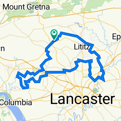
2023 Lancaster County Covered Bridge Ride
A cycling route starting in Manheim, Pennsylvania, United States of America.
Overview
About this route
- -:--
- Duration
- 82.6 km
- Distance
- 697 m
- Ascent
- 695 m
- Descent
- ---
- Avg. speed
- 167 m
- Avg. speed

Route quality
Waytypes & surfaces along the route
Waytypes
Road
33 km
(40 %)
Quiet road
32.1 km
(39 %)
Surfaces
Paved
12.5 km
(15 %)
Asphalt
12.3 km
(15 %)
Wood
0.1 km
(<1 %)
Continue with Bikemap
Use, edit, or download this cycling route
You would like to ride 2023 Lancaster County Covered Bridge Ride or customize it for your own trip? Here is what you can do with this Bikemap route:
Free features
- Save this route as favorite or in collections
- Copy & plan your own version of this route
- Split it into stages to create a multi-day tour
- Sync your route with Garmin or Wahoo
Premium features
Free trial for 3 days, or one-time payment. More about Bikemap Premium.
- Navigate this route on iOS & Android
- Export a GPX / KML file of this route
- Create your custom printout (try it for free)
- Download this route for offline navigation
Discover more Premium features.
Get Bikemap PremiumFrom our community
Other popular routes starting in Manheim
 PV high school
- Distance
- 37.7 km
- Ascent
- 226 m
- Descent
- 245 m
- Location
- Manheim, Pennsylvania, United States of America
 2023 Lancaster County Covered Bridge Ride
- Distance
- 82.6 km
- Ascent
- 697 m
- Descent
- 695 m
- Location
- Manheim, Pennsylvania, United States of America
Open it in the app