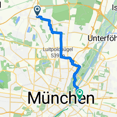
Paul-Preuß-Straße, München nach Au-Haidhausen, München
- 14.2 km
- 69 m
- 38 m
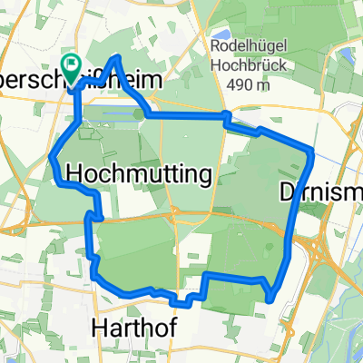
- Oberschleißheim, Bavaria, Germany
A cycling route starting in Oberschleißheim, Bavaria, Germany.
Overview
created this 2 years ago
Route quality
Path
16.3 km
(33 %)
Quiet road
12.3 km
(25 %)
Paved
29.6 km
(60 %)
Unpaved
17.7 km
(36 %)
Asphalt
29.1 km
(59 %)
Gravel
14.8 km
(30 %)
Continue with Bikemap
You would like to ride München - US or customize it for your own trip? Here is what you can do with this Bikemap route:
Free trial for 3 days, or one-time payment. More about Bikemap Premium.
Discover more Premium features.
Get Bikemap PremiumFrom our community
Open it in the app