

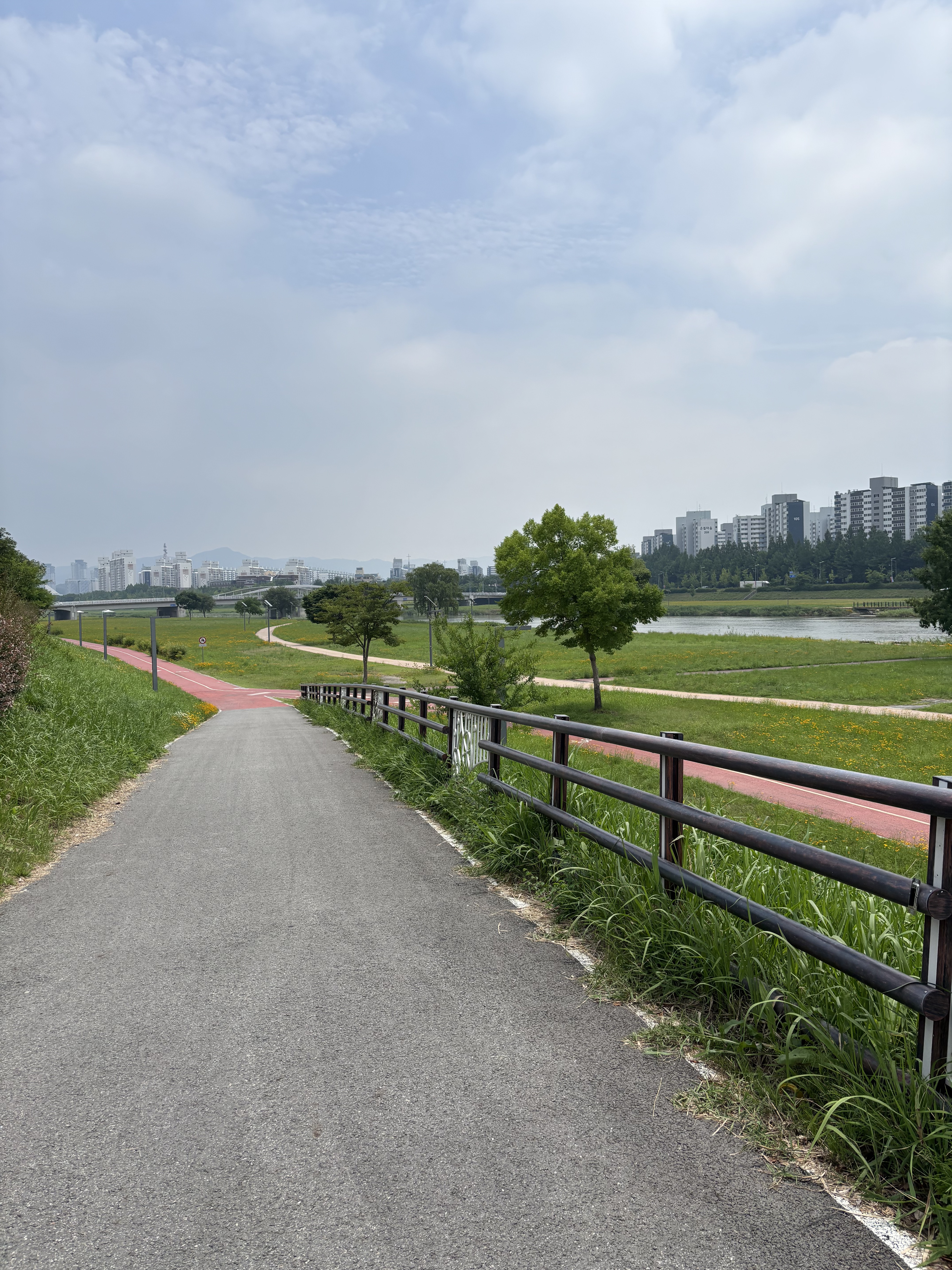
햇무리교-세종호수공원-이응다리
A cycling route starting in Songgangdong, Daejeon, South Korea.
Overview
About this route
- 1 h 19 min
- Duration
- 16.1 km
- Distance
- 43 m
- Ascent
- 39 m
- Descent
- 12.2 km/h
- Avg. speed
- 39 m
- Max. altitude
Route photos


Continue with Bikemap
Use, edit, or download this cycling route
You would like to ride 햇무리교-세종호수공원-이응다리 or customize it for your own trip? Here is what you can do with this Bikemap route:
Free features
- Save this route as favorite or in collections
- Copy & plan your own version of this route
- Sync your route with Garmin or Wahoo
Premium features
Free trial for 3 days, or one-time payment. More about Bikemap Premium.
- Navigate this route on iOS & Android
- Export a GPX / KML file of this route
- Create your custom printout (try it for free)
- Download this route for offline navigation
Discover more Premium features.
Get Bikemap PremiumFrom our community
Other popular routes starting in Songgangdong
 대학로291번가길, 대전광역시에서 대학로291번가길, 대전광역시까지
- Distance
- 13.7 km
- Ascent
- 146 m
- Descent
- 149 m
- Location
- Songgangdong, Daejeon, South Korea
 지족동 233-14 ~ 58
- Distance
- 6 km
- Ascent
- 0 m
- Descent
- 78 m
- Location
- Songgangdong, Daejeon, South Korea
 햇무리교-세종호수공원-이응다리
- Distance
- 16.1 km
- Ascent
- 43 m
- Descent
- 39 m
- Location
- Songgangdong, Daejeon, South Korea
 Ocheon Bicycle Path (Final)
- Distance
- 98.2 km
- Ascent
- 376 m
- Descent
- 163 m
- Location
- Songgangdong, Daejeon, South Korea
 편안한 경로
- Distance
- 11.7 km
- Ascent
- 138 m
- Descent
- 161 m
- Location
- Songgangdong, Daejeon, South Korea
![Ph0]에서 경로연기면 548-85](https://media.bikemap.net/routes/17377894/gallery/thumbs/84958e29-1158-405d-87a8-90b28de881bb.jpg.208x208_q80_crop.jpg) Ph0]에서 경로연기면 548-85
Ph0]에서 경로연기면 548-85- Distance
- 36.2 km
- Ascent
- 121 m
- Descent
- 119 m
- Location
- Songgangdong, Daejeon, South Korea
 유성 ~ 비학산 ~ 금병산
- Distance
- 32.4 km
- Ascent
- 983 m
- Descent
- 963 m
- Location
- Songgangdong, Daejeon, South Korea
 세종보-대청댐
- Distance
- 34.2 km
- Ascent
- 170 m
- Descent
- 133 m
- Location
- Songgangdong, Daejeon, South Korea
Open it in the app