Etapa4_LaExtrema18
- 87.6 km
- 1,345 m
- 1,346 m
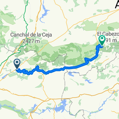
- Valdastillas, Extremadura, Spain
A cycling route starting in Valdastillas, Extremadura, Spain.
Overview
The route starts in Rebollar and follows the road towards El Torno. Halfway between the two towns, after crossing the gorge of La Puria, it turns right onto a cement track that ascends to the sierra with a steep incline. Once on the sierra, the path is quite flat until reaching a forest of cedars and firs. Beyond this is a spectacular descent of several kilometers. Finally, a return to Rebollar. The route is perfectly passable by bike, as it runs along roads or tracks accessible to cars, except for the kilometer before the fir forest, which likely has to be done on foot.
Route highlights
Precioso bosque de cedros y abetos.
Continue with Bikemap
You would like to ride Sierra de Rebollar or customize it for your own trip? Here is what you can do with this Bikemap route:
Free trial for 3 days, or one-time payment. More about Bikemap Premium.
Discover more Premium features.
Get Bikemap PremiumFrom our community
Open it in the app