ronda12-3
- 124.5 km
- 2,385 m
- 1,666 m
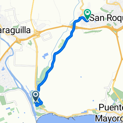
- San Roque, Andalusia, Spain
A cycling route starting in San Roque, Andalusia, Spain.
Overview
This is a draft for the second or third day of Ronda2012.
A ride of 125 km.
It starts in Ronda, by train to San Roque, then by bike over hills flattening out along the coast to Estepona.
Then a climb from Estepona to the Picos de los Realos.
Then it goes up and down. We make a loop to get to a 12 km climb. After that, we join the A-369.
We descend a little over 300 m and are back in San Francisco.
Jubrique to Farajan via Solana may be a problem. If so, we ride from Jubrique to the A-369.
Important to stay together in the descent and climb, due to the large number of side roads there is a danger of wrong turns in unfamiliar terrain.
See also the elevation profile.
Also visible on Facebook:
created this 14 years ago
Route highlights
Continue with Bikemap
You would like to ride ronda12-3 or customize it for your own trip? Here is what you can do with this Bikemap route:
Free trial for 3 days, or one-time payment. More about Bikemap Premium.
Discover more Premium features.
Get Bikemap PremiumFrom our community
Open it in the app