
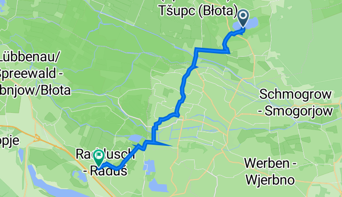
am See 2, Byhleguhre-Byhlen nach Radduscher Bahnhofstraße 13, Vetschau/Spreewald
A cycling route starting in Straupitz, Brandenburg, Germany.
Overview
About this route
- 45 min
- Duration
- 16.5 km
- Distance
- 36 m
- Ascent
- 36 m
- Descent
- 21.8 km/h
- Avg. speed
- 70 m
- Max. altitude

Continue with Bikemap
Use, edit, or download this cycling route
You would like to ride am See 2, Byhleguhre-Byhlen nach Radduscher Bahnhofstraße 13, Vetschau/Spreewald or customize it for your own trip? Here is what you can do with this Bikemap route:
Free features
- Save this route as favorite or in collections
- Copy & plan your own version of this route
- Sync your route with Garmin or Wahoo
Premium features
Free trial for 3 days, or one-time payment. More about Bikemap Premium.
- Navigate this route on iOS & Android
- Export a GPX / KML file of this route
- Create your custom printout (try it for free)
- Download this route for offline navigation
Discover more Premium features.
Get Bikemap PremiumFrom our community
Other popular routes starting in Straupitz
 Spreewaldtour Burg-Staupitz-Lübbenau-Lübben-Leipe-Burg
- Distance
- 68.4 km
- Ascent
- 46 m
- Descent
- 43 m
- Location
- Straupitz, Brandenburg, Germany
 EZF Sraupitz Mühle
- Distance
- 6.4 km
- Ascent
- 35 m
- Descent
- 37 m
- Location
- Straupitz, Brandenburg, Germany
 Raddusch
- Distance
- 39.3 km
- Ascent
- 19 m
- Descent
- 19 m
- Location
- Straupitz, Brandenburg, Germany
 4_Cottbus-Straupitz alternativ
- Distance
- 49.5 km
- Ascent
- 102 m
- Descent
- 85 m
- Location
- Straupitz, Brandenburg, Germany
 Straupitz-Kannomühle-Hotel Eiche-Burg-Straupitz
- Distance
- 29.6 km
- Ascent
- 32 m
- Descent
- 30 m
- Location
- Straupitz, Brandenburg, Germany
 von Straupitz nach Burg
- Distance
- 11.3 km
- Ascent
- 17 m
- Descent
- 20 m
- Location
- Straupitz, Brandenburg, Germany
 Straupitz-Kannomühle-Hotel Eiche-Burg-Straupitz
- Distance
- 39.8 km
- Ascent
- 28 m
- Descent
- 26 m
- Location
- Straupitz, Brandenburg, Germany
 Straupitz-Dissen-Straupitz
- Distance
- 51.5 km
- Ascent
- 34 m
- Descent
- 33 m
- Location
- Straupitz, Brandenburg, Germany
Open it in the app