

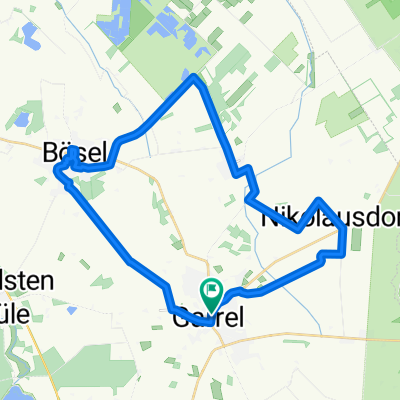
Roslaes Höhe 28, Garrel nach Roslaes Höhe 24, Garrel
A cycling route starting in Garrel, Lower Saxony, Germany.
Overview
About this route
- 2 h 6 min
- Duration
- 36 km
- Distance
- 53 m
- Ascent
- 56 m
- Descent
- 17.1 km/h
- Avg. speed
- 56 m
- Max. altitude

Route photos

Route quality
Waytypes & surfaces along the route
Waytypes
Path
26.3 km
(73 %)
Quiet road
7.7 km
(21 %)
Surfaces
Paved
33.9 km
(94 %)
Asphalt
30.7 km
(85 %)
Paving stones
2.7 km
(8 %)
Continue with Bikemap
Use, edit, or download this cycling route
You would like to ride Roslaes Höhe 28, Garrel nach Roslaes Höhe 24, Garrel or customize it for your own trip? Here is what you can do with this Bikemap route:
Free features
- Save this route as favorite or in collections
- Copy & plan your own version of this route
- Sync your route with Garmin or Wahoo
Premium features
Free trial for 3 days, or one-time payment. More about Bikemap Premium.
- Navigate this route on iOS & Android
- Export a GPX / KML file of this route
- Create your custom printout (try it for free)
- Download this route for offline navigation
Discover more Premium features.
Get Bikemap PremiumFrom our community
Other popular routes starting in Garrel
 Roslaes Höhe 28, Garrel nach Roslaes Höhe 24, Garrel
- Distance
- 36 km
- Ascent
- 53 m
- Descent
- 56 m
- Location
- Garrel, Lower Saxony, Germany
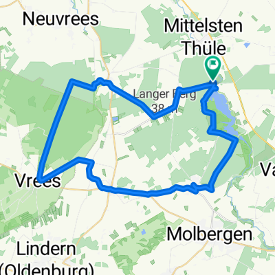
 Thule
Thule- Distance
- 15.8 km
- Ascent
- 4 m
- Descent
- 12 m
- Location
- Garrel, Lower Saxony, Germany
 Am Stausee 10, Friesoythe do Breslauer Straße 5, Garrel
- Distance
- 36.4 km
- Ascent
- 7 m
- Descent
- 27 m
- Location
- Garrel, Lower Saxony, Germany
 Garrel
- Distance
- 20.9 km
- Ascent
- 29 m
- Descent
- 26 m
- Location
- Garrel, Lower Saxony, Germany
 Alleenroute
- Distance
- 30.9 km
- Ascent
- 24 m
- Descent
- 27 m
- Location
- Garrel, Lower Saxony, Germany
 Thülsfelder Talsperr Tour
- Distance
- 38.1 km
- Ascent
- 80 m
- Descent
- 79 m
- Location
- Garrel, Lower Saxony, Germany
 Thülsfelder Talsperre - Harriersand
- Distance
- 78.2 km
- Ascent
- 33 m
- Descent
- 53 m
- Location
- Garrel, Lower Saxony, Germany
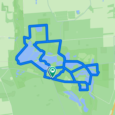 Ahlhorner Teiche 16
- Distance
- 16.4 km
- Ascent
- 56 m
- Descent
- 57 m
- Location
- Garrel, Lower Saxony, Germany
Open it in the app