

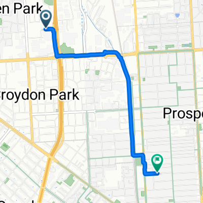
Kilkenny Rd, Kilkenny to 33 Galway Tce, Largs North
A cycling route starting in Woodville, South Australia, Australia.
Overview
About this route
- 25 min
- Duration
- 10.9 km
- Distance
- 7 m
- Ascent
- 15 m
- Descent
- 25.9 km/h
- Avg. speed
- 16 m
- Max. altitude

Route quality
Waytypes & surfaces along the route
Waytypes
Cycleway
5 km
(46 %)
Quiet road
4.3 km
(39 %)
Surfaces
Paved
10.3 km
(94 %)
Asphalt
9.4 km
(86 %)
Paved (undefined)
0.5 km
(4 %)
Continue with Bikemap
Use, edit, or download this cycling route
You would like to ride Kilkenny Rd, Kilkenny to 33 Galway Tce, Largs North or customize it for your own trip? Here is what you can do with this Bikemap route:
Free features
- Save this route as favorite or in collections
- Copy & plan your own version of this route
- Sync your route with Garmin or Wahoo
Premium features
Free trial for 3 days, or one-time payment. More about Bikemap Premium.
- Navigate this route on iOS & Android
- Export a GPX / KML file of this route
- Create your custom printout (try it for free)
- Download this route for offline navigation
Discover more Premium features.
Get Bikemap PremiumFrom our community
Other popular routes starting in Woodville
 anstey hill, gorge rd
- Distance
- 70.3 km
- Ascent
- 518 m
- Descent
- 517 m
- Location
- Woodville, South Australia, Australia
 2C Auburn Crescent, Croydon Park to 226 Greenhill Road, Eastwood
- Distance
- 9.8 km
- Ascent
- 95 m
- Descent
- 48 m
- Location
- Woodville, South Australia, Australia
 flat 70
- Distance
- 68.1 km
- Ascent
- 211 m
- Descent
- 213 m
- Location
- Woodville, South Australia, Australia
 etapa 1
- Distance
- 83.5 km
- Ascent
- 733 m
- Descent
- 466 m
- Location
- Woodville, South Australia, Australia
 semaphore
- Distance
- 10.5 km
- Ascent
- 82 m
- Descent
- 86 m
- Location
- Woodville, South Australia, Australia
 65 Reynell St, Kilkenny to 34 Radstock St, Woodville Park
- Distance
- 0.5 km
- Ascent
- 0 m
- Descent
- 0 m
- Location
- Woodville, South Australia, Australia
 anstey hill, corkscrew and beach
- Distance
- 101.7 km
- Ascent
- 754 m
- Descent
- 756 m
- Location
- Woodville, South Australia, Australia
 Days Rd, Regency Park to Braund Rd, Prospect
- Distance
- 4 km
- Ascent
- 20 m
- Descent
- 3 m
- Location
- Woodville, South Australia, Australia
Open it in the app