

All9aSüd: Pfronten - Westendorf; 74,5km 390hm
A cycling route starting in Pfronten, Bavaria, Germany.
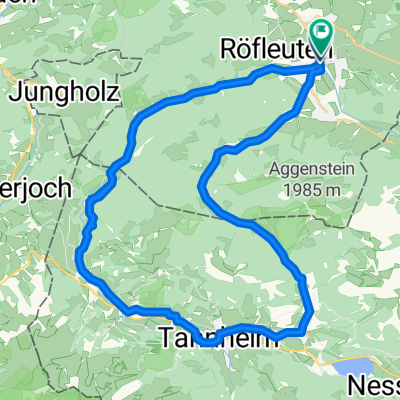
Overview
About this route
Pfronten - (RRA) - Kappel - Rehbichl - Zell - Eisenberg - Speiden - Osterreuten - Hopferau - Hopfen am See - Eschach - Osterreinen - Roßhaupten - Steinbach - Unterkehlen - Rieder - Marktoberdorf - Ebenhofen - Biessenhofen - Bienenberg - Kaufbeuren - (All Allgäu Radweg) - Mauerstetten - Dösingen - Westendorf
Gasthaus Grüner Baum, Ostendorfer Str. 11, 87679 Westendorf
- -:--
- Duration
- 74.5 km
- Distance
- 544 m
- Ascent
- 761 m
- Descent
- ---
- Avg. speed
- 958 m
- Max. altitude

Route quality
Waytypes & surfaces along the route
Waytypes
Path
32.2 km
(43 %)
Quiet road
21.3 km
(29 %)
Surfaces
Paved
57.7 km
(77 %)
Unpaved
8.9 km
(12 %)
Asphalt
54.6 km
(73 %)
Pebblestone
5.1 km
(7 %)
Route highlights
Points of interest along the route
Point of interest after 1.5 km
Liegebank
Point of interest after 17 km
Kneippstelle am Hopfensee
Point of interest after 21 km
Marterl und Bankerl mit Aussicht
Point of interest after 23.6 km
Schöne Badestelle
Point of interest after 29.8 km
Nach rechts zur Badelagune Via Claudia
Accommodation after 30.5 km
Beim Lipp, nach 30km
Point of interest after 60.3 km
Bank am Abhang
Point of interest after 63.3 km
Irseer Klosterbräu, Klosterring 1-3, 87660 Irsee
Continue with Bikemap
Use, edit, or download this cycling route
You would like to ride All9aSüd: Pfronten - Westendorf; 74,5km 390hm or customize it for your own trip? Here is what you can do with this Bikemap route:
Free features
- Save this route as favorite or in collections
- Copy & plan your own version of this route
- Sync your route with Garmin or Wahoo
Premium features
Free trial for 3 days, or one-time payment. More about Bikemap Premium.
- Navigate this route on iOS & Android
- Export a GPX / KML file of this route
- Create your custom printout (try it for free)
- Download this route for offline navigation
Discover more Premium features.
Get Bikemap PremiumFrom our community
Other popular routes starting in Pfronten
 Tages-Biketour(MTB)
- Distance
- 55.8 km
- Ascent
- 1,886 m
- Descent
- 1,886 m
- Location
- Pfronten, Bavaria, Germany
 Tannheimer Tal
- Distance
- 38.5 km
- Ascent
- 380 m
- Descent
- 378 m
- Location
- Pfronten, Bavaria, Germany
 Radrunde durch Vils-Pfronten
- Distance
- 23 km
- Ascent
- 125 m
- Descent
- 126 m
- Location
- Pfronten, Bavaria, Germany
 Alpencross Pfronten - Bardolino
- Distance
- 372.3 km
- Ascent
- 2,741 m
- Descent
- 3,517 m
- Location
- Pfronten, Bavaria, Germany
 All9: Pfronten - Irsee; 68,3km 500hm
- Distance
- 68.3 km
- Ascent
- 661 m
- Descent
- 824 m
- Location
- Pfronten, Bavaria, Germany
 Schlossbergrunde
- Distance
- 37.8 km
- Ascent
- 433 m
- Descent
- 431 m
- Location
- Pfronten, Bavaria, Germany
 Breitenbergrunde
- Distance
- 20 km
- Ascent
- 909 m
- Descent
- 909 m
- Location
- Pfronten, Bavaria, Germany
 Pfronten - Drei-Täler-Rundfahrt
- Distance
- 55 km
- Ascent
- 503 m
- Descent
- 503 m
- Location
- Pfronten, Bavaria, Germany
Open it in the app