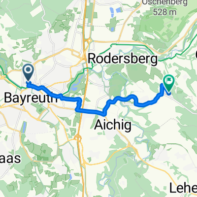
Bühlweg 27A nach Rheinstraße
- 7.5 km
- 35 m
- 24 m
- Bayreuth, Bavaria, Germany
2011 Frankentour
A cycling route starting in Bayreuth, Bavaria, Germany.
Overview
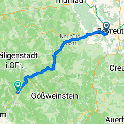
1st Day of the Frankenrunde
from Bayreuth to Ebermannstadt
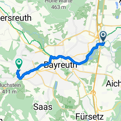
good paths, lots of scenery through Franconian Switzerland. There were also a few hills.
Unfortunately, we had bad weather, so we didn't reach our daily goal in Forchheim and stayed in Ebermannstadt.
We took a break in Breitenlesau and had a delicious lunch at the village pub.
created this 14 years ago
Part of
11 stages
Route quality
Quiet road
15 km
(26 %)
Path
14.4 km
(25 %)
Paved
43.3 km
(75 %)
Unpaved
2.9 km
(5 %)
Asphalt
43.3 km
(75 %)
Gravel
1.7 km
(3 %)
Route highlights
lecker Essen in der Dorfgaststätte
Continue with Bikemap
You would like to ride 11/01 Bayreuth - Ebermannstadt or customize it for your own trip? Here is what you can do with this Bikemap route:
Free trial for 3 days, or one-time payment. More about Bikemap Premium.
Discover more Premium features.
Get Bikemap PremiumFrom our community
Open it in the app