
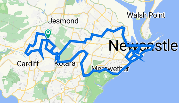
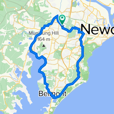
Newcastle's Steepest Climbs
A cycling route starting in Elermore Vale, New South Wales, Australia.
Overview
About this route
Not the biggest, but all the steepest - Brown St, Nesca, Elbrook and some around Cardiff Heights.
- -:--
- Duration
- 54 km
- Distance
- 901 m
- Ascent
- 901 m
- Descent
- ---
- Avg. speed
- 150 m
- Max. altitude

Route quality
Waytypes & surfaces along the route
Waytypes
Cycleway
14 km
(26 %)
Quiet road
13.5 km
(25 %)
Surfaces
Paved
46.4 km
(86 %)
Asphalt
27 km
(50 %)
Paved (undefined)
16.2 km
(30 %)
Continue with Bikemap
Use, edit, or download this cycling route
You would like to ride Newcastle's Steepest Climbs or customize it for your own trip? Here is what you can do with this Bikemap route:
Free features
- Save this route as favorite or in collections
- Copy & plan your own version of this route
- Sync your route with Garmin or Wahoo
Premium features
Free trial for 3 days, or one-time payment. More about Bikemap Premium.
- Navigate this route on iOS & Android
- Export a GPX / KML file of this route
- Create your custom printout (try it for free)
- Download this route for offline navigation
Discover more Premium features.
Get Bikemap PremiumFrom our community
Other popular routes starting in Elermore Vale
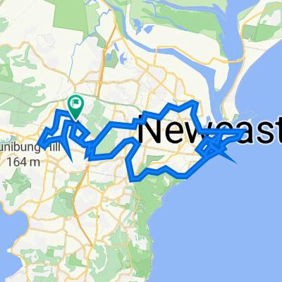 Newcastle's Steepest Climbs
- Distance
- 54 km
- Ascent
- 901 m
- Descent
- 901 m
- Location
- Elermore Vale, New South Wales, Australia
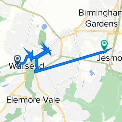
 Warners bay
- Distance
- 14.8 km
- Ascent
- 106 m
- Descent
- 141 m
- Location
- Elermore Vale, New South Wales, Australia
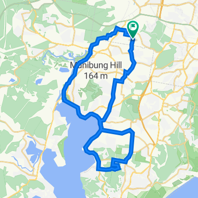 Elemore Vale <> Tingira Heights Loop
- Distance
- 35.8 km
- Ascent
- 475 m
- Descent
- 475 m
- Location
- Elermore Vale, New South Wales, Australia
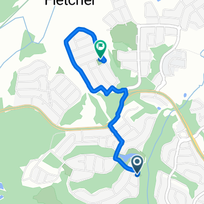 Jetty Parade 20, Fletcher to Kurrabung Drive 45, Fletcher
- Distance
- 2.9 km
- Ascent
- 33 m
- Descent
- 55 m
- Location
- Elermore Vale, New South Wales, Australia
 Sunday Ride
- Distance
- 5.2 km
- Ascent
- 20 m
- Descent
- 30 m
- Location
- Elermore Vale, New South Wales, Australia
 Marmong Point
- Distance
- 14.4 km
- Ascent
- 139 m
- Descent
- 136 m
- Location
- Elermore Vale, New South Wales, Australia
 Fernleigh to Tramway Loop via Warners Bay and Rankin Park
- Distance
- 46.4 km
- Ascent
- 508 m
- Descent
- 511 m
- Location
- Elermore Vale, New South Wales, Australia
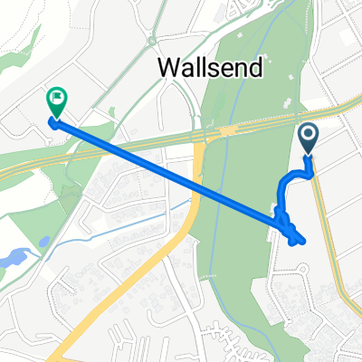 Walford Street 8, Wallsend to Moani Street 5, Wallsend
- Distance
- 1.6 km
- Ascent
- 34 m
- Descent
- 21 m
- Location
- Elermore Vale, New South Wales, Australia
Open it in the app