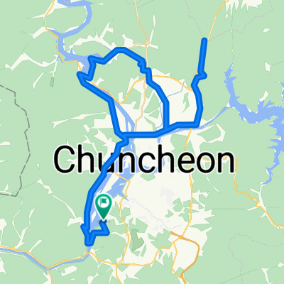
![송암동 162, 춘천시Ph0]으로 라우팅](https://media.bikemap.net/routes/13543145/staticmaps/in_b8635e0d-c5ad-4443-b5ee-4a257712591e_694x400_bikemap-2021-3D-static.png)

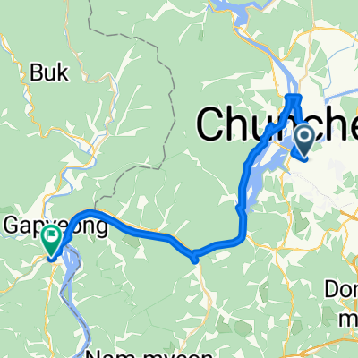
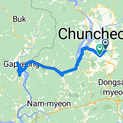
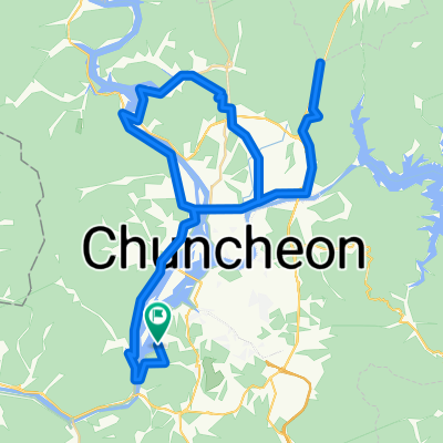
춘천역_가평역
- 40.8 km
- 145 m
- 154 m
- Chuncheon, Gangwon-do, South Korea
A cycling route starting in Chuncheon, Gangwon-do, South Korea.
Overview
created this 2 years ago
Continue with Bikemap
You would like to ride 송암동 162, 춘천시Ph0]으로 라우팅 or customize it for your own trip? Here is what you can do with this Bikemap route:
Free trial for 3 days, or one-time payment. More about Bikemap Premium.
Discover more Premium features.
Get Bikemap PremiumFrom our community
Open it in the app