

Bučky&jazero Skrabske
A cycling route starting in Vranov nad Topľou, Prešov Region, Slovakia.
Overview
About this route
Bučky 528.8, the highest peak of the Mernická Hillock with a beautiful view of the surroundings.
- -:--
- Duration
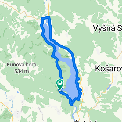
- 38.5 km
- Distance
- 463 m
- Ascent
- 464 m
- Descent
- ---
- Avg. speed
- ---
- Max. altitude
Route quality
Waytypes & surfaces along the route
Waytypes
Road
21.6 km
(56 %)
Track
12.3 km
(32 %)
Surfaces
Paved
5 km
(13 %)
Unpaved
11.2 km
(29 %)
Ground
5.8 km
(15 %)
Asphalt
5 km
(13 %)
Route highlights
Points of interest along the route
Point of interest after 15.4 km
Bučky 528 m n m http://www.panoramio.com/photo/46583122
Point of interest after 20 km
Štrkovisko Skrabske http://www.panoramio.com/photo/41323557?source=wapi&referrer=kh.google.com
Continue with Bikemap
Use, edit, or download this cycling route
You would like to ride Bučky&jazero Skrabske or customize it for your own trip? Here is what you can do with this Bikemap route:
Free features
- Save this route as favorite or in collections
- Copy & plan your own version of this route
- Sync your route with Garmin or Wahoo
Premium features
Free trial for 3 days, or one-time payment. More about Bikemap Premium.
- Navigate this route on iOS & Android
- Export a GPX / KML file of this route
- Create your custom printout (try it for free)
- Download this route for offline navigation
Discover more Premium features.
Get Bikemap PremiumFrom our community
Other popular routes starting in Vranov nad Topľou
 BTVT okruh Herlianske sedlo
- Distance
- 53.2 km
- Ascent
- 965 m
- Descent
- 965 m
- Location
- Vranov nad Topľou, Prešov Region, Slovakia
 VT-Tri Kríže- Dubina- V.Tričaj- M.Domaša
- Distance
- 14.2 km
- Ascent
- 266 m
- Descent
- 265 m
- Location
- Vranov nad Topľou, Prešov Region, Slovakia
 Východ - 4. deň ( Domaša - Vinné kemp )
- Distance
- 48.3 km
- Ascent
- 453 m
- Descent
- 343 m
- Location
- Vranov nad Topľou, Prešov Region, Slovakia
 Quick ride through Vranov nad Topľou
- Distance
- 5.6 km
- Ascent
- 9 m
- Descent
- 18 m
- Location
- Vranov nad Topľou, Prešov Region, Slovakia
 Vranov-Vinice-Tana-Michalok-Kvakovce-Dobra
- Distance
- 29.8 km
- Ascent
- 355 m
- Descent
- 312 m
- Location
- Vranov nad Topľou, Prešov Region, Slovakia
 Slansky Cup
- Distance
- 11.3 km
- Ascent
- 626 m
- Descent
- 28 m
- Location
- Vranov nad Topľou, Prešov Region, Slovakia
 Kvakovce do Kvakovce
- Distance
- 40.6 km
- Ascent
- 651 m
- Descent
- 648 m
- Location
- Vranov nad Topľou, Prešov Region, Slovakia
 6.7.2013 Domaša
- Distance
- 35.4 km
- Ascent
- 393 m
- Descent
- 391 m
- Location
- Vranov nad Topľou, Prešov Region, Slovakia
Open it in the app