

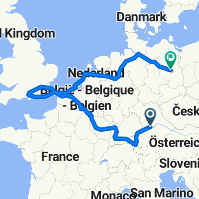
Buxheim-Eichstätt-Pfünz-Böhmfeld-Eitensheim-Tauberfeld-Bux
A cycling route starting in Buxheim, Bavaria, Germany.
Overview
About this route
- -:--
- Duration
- 44.1 km
- Distance
- 361 m
- Ascent
- 362 m
- Descent
- ---
- Avg. speed
- ---
- Max. altitude

Route quality
Waytypes & surfaces along the route
Waytypes
Track
20.7 km
(47 %)
Road
8.8 km
(20 %)
Surfaces
Paved
32.2 km
(73 %)
Unpaved
10.6 km
(24 %)
Asphalt
31.3 km
(71 %)
Gravel
6.6 km
(15 %)
Continue with Bikemap
Use, edit, or download this cycling route
You would like to ride Buxheim-Eichstätt-Pfünz-Böhmfeld-Eitensheim-Tauberfeld-Bux or customize it for your own trip? Here is what you can do with this Bikemap route:
Free features
- Save this route as favorite or in collections
- Copy & plan your own version of this route
- Sync your route with Garmin or Wahoo
Premium features
Free trial for 3 days, or one-time payment. More about Bikemap Premium.
- Navigate this route on iOS & Android
- Export a GPX / KML file of this route
- Create your custom printout (try it for free)
- Download this route for offline navigation
Discover more Premium features.
Get Bikemap PremiumFrom our community
Other popular routes starting in Buxheim
 Route nach Vohburg an der Donau
- Distance
- 29 km
- Ascent
- 23 m
- Descent
- 57 m
- Location
- Buxheim, Bavaria, Germany
 Saupark
- Distance
- 56.2 km
- Ascent
- 527 m
- Descent
- 527 m
- Location
- Buxheim, Bavaria, Germany
 Buxheim-Eichstätt-Pfünz-Böhmfeld-Eitensheim-Tauberfeld-Bux
- Distance
- 44.1 km
- Ascent
- 361 m
- Descent
- 362 m
- Location
- Buxheim, Bavaria, Germany
 Höchste Punkte im Altmühltal
- Distance
- 63.2 km
- Ascent
- 601 m
- Descent
- 601 m
- Location
- Buxheim, Bavaria, Germany
 Elternzeittour deux
- Distance
- 3,190.6 km
- Ascent
- 7,047 m
- Descent
- 7,392 m
- Location
- Buxheim, Bavaria, Germany
 Buxheim-Altmühltal-Greding-Kipfenberg-Buxheim
- Distance
- 149.5 km
- Ascent
- 732 m
- Descent
- 734 m
- Location
- Buxheim, Bavaria, Germany
 Ingolstadt-Riva del Garda CLONED FROM ROUTE 272300
- Distance
- 513.4 km
- Ascent
- 4,992 m
- Descent
- 5,312 m
- Location
- Buxheim, Bavaria, Germany
 Buxheim-Hütting-Eichstätt-Pfünz-Buxheim
- Distance
- 69.4 km
- Ascent
- 670 m
- Descent
- 642 m
- Location
- Buxheim, Bavaria, Germany
Open it in the app