

Rund um den Theißsee
A cycling route starting in Tiszafüred, Jász-Nagykun-Szolnok, Hungary.
Overview
About this route
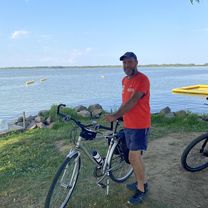
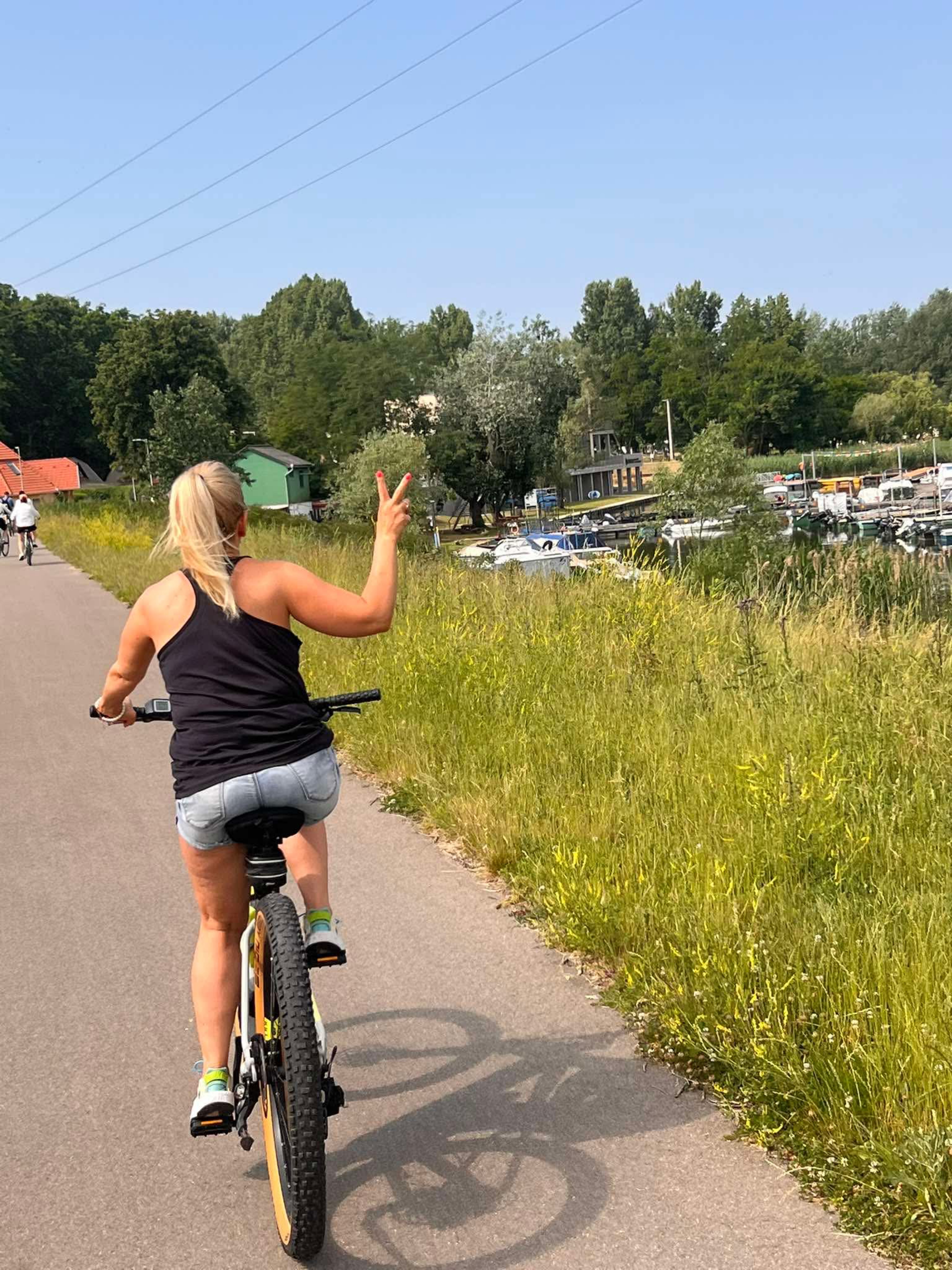
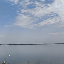
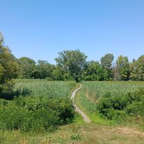
The tour runs through the Tisza lakes landscape, redesigned and funded by the EU after 1990, with start and finish in Tiszafüred. The route follows entirely along the dikes of the river landscape on well-paved 2.5 m wide paths. From the dike, there are captivating views of the varied lakes landscape or the vastness of the Puszta. We cycled south along the east bank from Tiszafüred, where there are few opportunities to stop. This changes from km 25 at the southernmost point of the tour, in Abadszalok. Here there is also a 400 m long bathing beach with good water quality, visibility about 1.0 m. At km 30 is the dam; further villages and marinas on the west bank follow, offering chances to refresh. The tour is easily rideable with all types of bikes. We experienced temperatures of 36° on our tour – sun protection is advised, as almost the entire route is exposed.
- -:--
- Duration
- 65.1 km
- Distance
- 93 m
- Ascent
- 91 m
- Descent
- ---
- Avg. speed
- 93 m
- Max. altitude
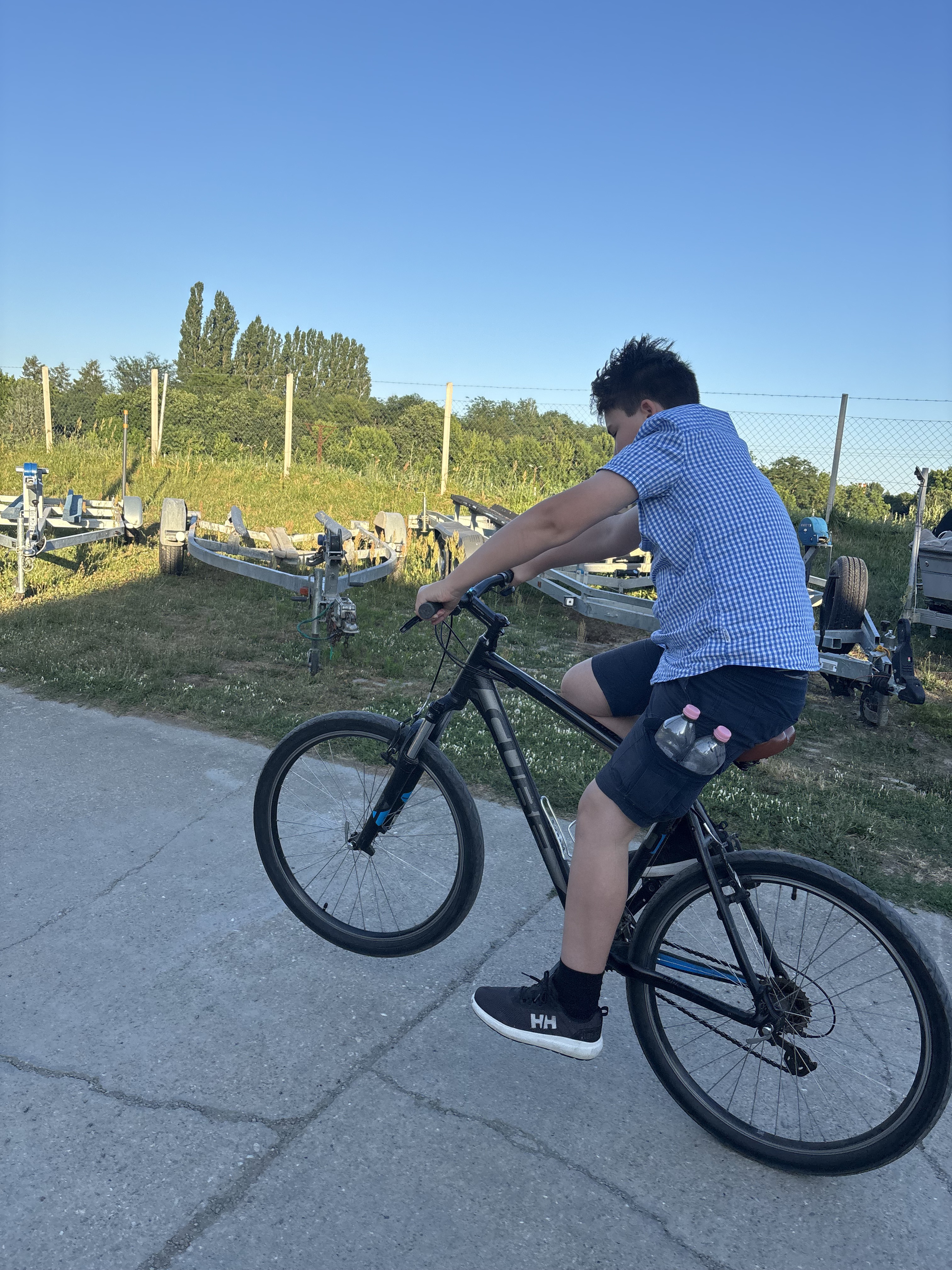
Route photos


Route quality
Waytypes & surfaces along the route
Waytypes
Access road
54 km
(83 %)
Cycleway
6.5 km
(10 %)
Surfaces
Paved
61.8 km
(95 %)
Unpaved
1.3 km
(2 %)
Asphalt
61.2 km
(94 %)
Ground
1.3 km
(2 %)
Continue with Bikemap
Use, edit, or download this cycling route
You would like to ride Rund um den Theißsee or customize it for your own trip? Here is what you can do with this Bikemap route:
Free features
- Save this route as favorite or in collections
- Copy & plan your own version of this route
- Sync your route with Garmin or Wahoo
Premium features
Free trial for 3 days, or one-time payment. More about Bikemap Premium.
- Navigate this route on iOS & Android
- Export a GPX / KML file of this route
- Create your custom printout (try it for free)
- Download this route for offline navigation
Discover more Premium features.
Get Bikemap PremiumFrom our community
Other popular routes starting in Tiszafüred
 Long bike tour through Tiszafüred
- Distance
- 68.2 km
- Ascent
- 41 m
- Descent
- 44 m
- Location
- Tiszafüred, Jász-Nagykun-Szolnok, Hungary
 Tisza-tó kör
- Distance
- 67 km
- Ascent
- 81 m
- Descent
- 78 m
- Location
- Tiszafüred, Jász-Nagykun-Szolnok, Hungary
 Húszöles út, Tiszafüred - Húszöles út, Tiszafüred
- Distance
- 65.4 km
- Ascent
- 62 m
- Descent
- 57 m
- Location
- Tiszafüred, Jász-Nagykun-Szolnok, Hungary
 29.7.2019
- Distance
- 51.8 km
- Ascent
- 22 m
- Descent
- 22 m
- Location
- Tiszafüred, Jász-Nagykun-Szolnok, Hungary
 Tiszató kör.
- Distance
- 74.1 km
- Ascent
- 235 m
- Descent
- 276 m
- Location
- Tiszafüred, Jász-Nagykun-Szolnok, Hungary
 Kikötő körút - Kikötő körút
- Distance
- 65.8 km
- Ascent
- 82 m
- Descent
- 122 m
- Location
- Tiszafüred, Jász-Nagykun-Szolnok, Hungary
 Tisza-tó kerülés
- Distance
- 63.8 km
- Ascent
- 54 m
- Descent
- 55 m
- Location
- Tiszafüred, Jász-Nagykun-Szolnok, Hungary
 Füredi út, Tiszafüred to Tiszafüred
- Distance
- 1.6 km
- Ascent
- 48 m
- Descent
- 38 m
- Location
- Tiszafüred, Jász-Nagykun-Szolnok, Hungary
Open it in the app