

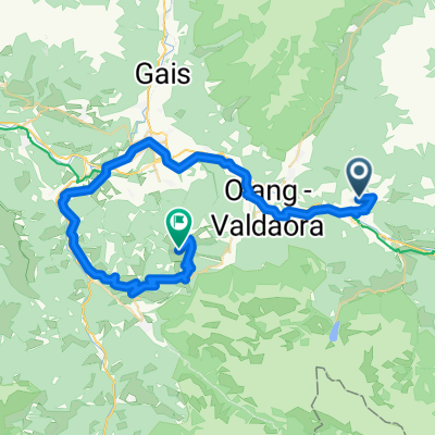
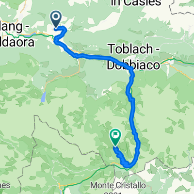
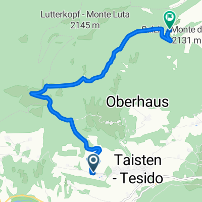
Taisten - Bruneck Taisten
A cycling route starting in Welsberg-Taisten, Trentino-Alto Adige, Italy.
Overview
About this route
- -:--
- Duration
- 44.3 km
- Distance
- 990 m
- Ascent
- 992 m
- Descent
- ---
- Avg. speed
- 1,401 m
- Max. altitude

Route quality
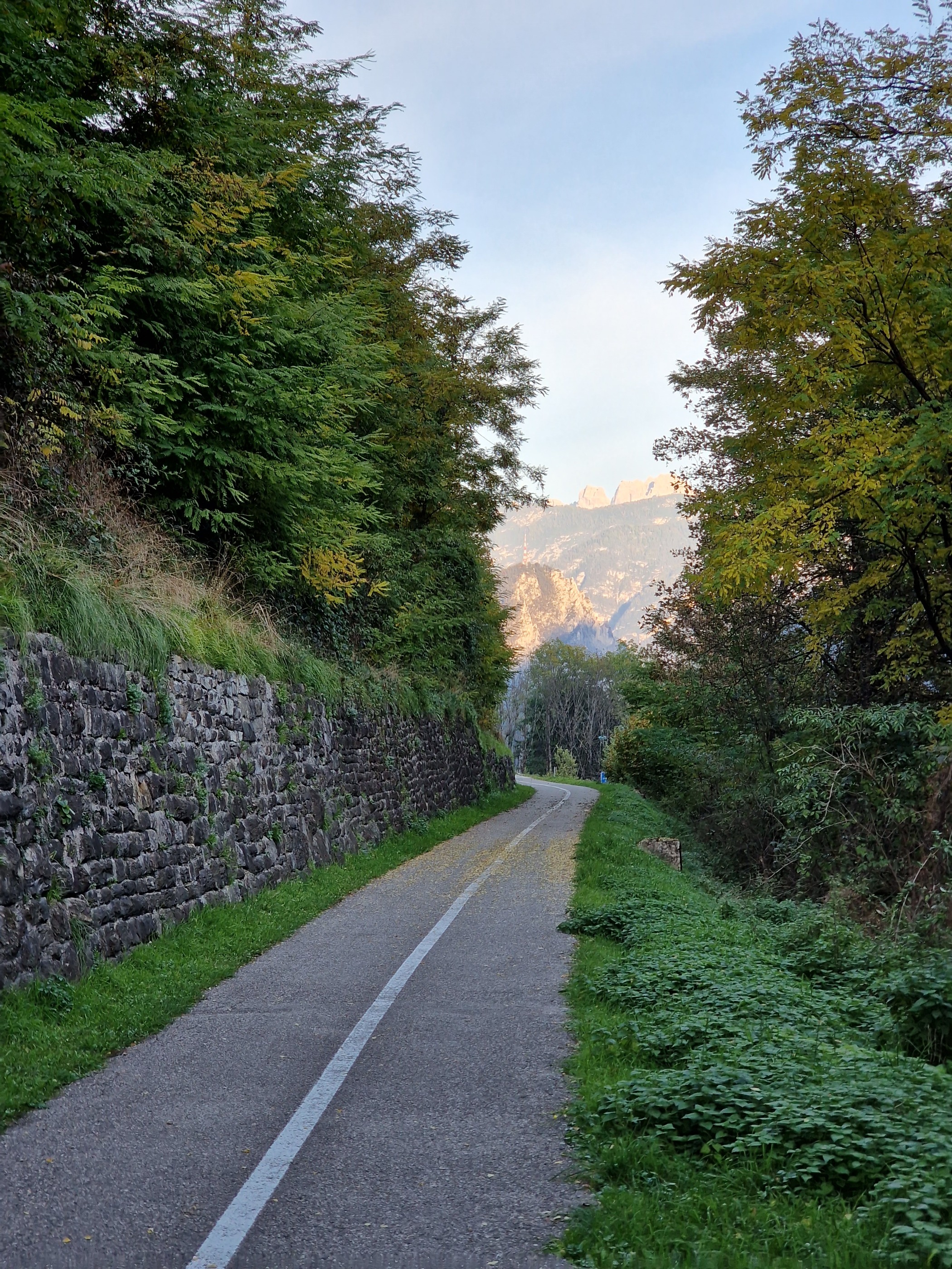
Waytypes & surfaces along the route
Waytypes
Quiet road
16.8 km
(38 %)
Track
13.7 km
(31 %)
Surfaces
Paved
31 km
(70 %)
Unpaved
10.2 km
(23 %)
Asphalt
30.5 km
(69 %)
Gravel
10.2 km
(23 %)
Continue with Bikemap
Use, edit, or download this cycling route
You would like to ride Taisten - Bruneck Taisten or customize it for your own trip? Here is what you can do with this Bikemap route:
Free features
- Save this route as favorite or in collections
- Copy & plan your own version of this route
- Sync your route with Garmin or Wahoo
Premium features
Free trial for 3 days, or one-time payment. More about Bikemap Premium.
- Navigate this route on iOS & Android
- Export a GPX / KML file of this route
- Create your custom printout (try it for free)
- Download this route for offline navigation
Discover more Premium features.
Get Bikemap PremiumFrom our community
Other popular routes starting in Welsberg-Taisten
 Welsberg - Kronplatz
- Distance
- 49.1 km
- Ascent
- 2,162 m
- Descent
- 1,200 m
- Location
- Welsberg-Taisten, Trentino-Alto Adige, Italy
 Taisten - Plätzwiese - Taisten
- Distance
- 59.2 km
- Ascent
- 1,288 m
- Descent
- 1,285 m
- Location
- Welsberg-Taisten, Trentino-Alto Adige, Italy
 Unterrainer Straße, Welsberg-Taisten nach Toblach
- Distance
- 35.1 km
- Ascent
- 1,174 m
- Descent
- 512 m
- Location
- Welsberg-Taisten, Trentino-Alto Adige, Italy
 7. Etappe Welsberg Calalzo
- Distance
- 76.8 km
- Ascent
- 510 m
- Descent
- 836 m
- Location
- Welsberg-Taisten, Trentino-Alto Adige, Italy
 Taisten - Taistner Vorderalm
- Distance
- 7.8 km
- Ascent
- 742 m
- Descent
- 53 m
- Location
- Welsberg-Taisten, Trentino-Alto Adige, Italy
 Drei Zinnen und nach Süden
- Distance
- 71.8 km
- Ascent
- 660 m
- Descent
- 1,025 m
- Location
- Welsberg-Taisten, Trentino-Alto Adige, Italy
 09b--BRAIES
- Distance
- 16.9 km
- Ascent
- 383 m
- Descent
- 384 m
- Location
- Welsberg-Taisten, Trentino-Alto Adige, Italy
 Taisten - Antholzer See
- Distance
- 26.6 km
- Ascent
- 868 m
- Descent
- 516 m
- Location
- Welsberg-Taisten, Trentino-Alto Adige, Italy
Open it in the app