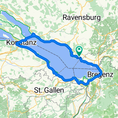
Rund um den Bodensee
- 194.4 km
- 228 m
- 226 m
- Kressbronn am Bodensee, Baden-Wurttemberg, Germany
A cycling route starting in Kressbronn am Bodensee, Baden-Wurttemberg, Germany.
Overview
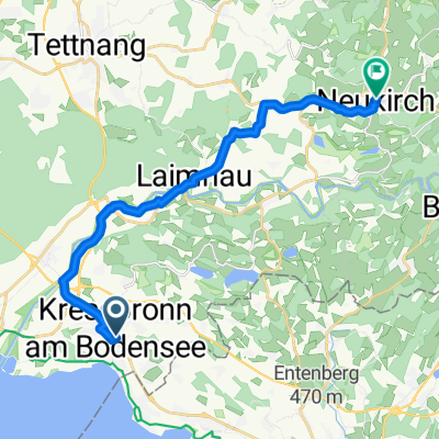
still in progress Kressbronn - various ponds with bathing possibility - Kressbronn
created this 2 years ago
Route quality
Road
16.1 km
(45 %)
Track
7.1 km
(20 %)
Paved
30.3 km
(85 %)
Unpaved
5 km
(14 %)
Asphalt
30.3 km
(85 %)
Gravel
2.9 km
(8 %)
Continue with Bikemap
You would like to ride 4 Kressbronn - Oberschwäbische Weihertour - Kressbronnnn or customize it for your own trip? Here is what you can do with this Bikemap route:
Free trial for 3 days, or one-time payment. More about Bikemap Premium.
Discover more Premium features.
Get Bikemap PremiumFrom our community
Open it in the app