Rundtour von Pöllauberg zur Ringwarte
- 37.2 km
- 1,340 m
- 1,336 m
- Pöllauberg, Styria, Austria
A cycling route starting in Pöllauberg, Styria, Austria.
Overview
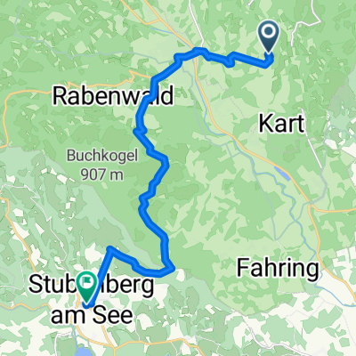
From the RETTER Bio-Natur-Resort in the Pöllauer Tal Nature Park to Stubenbergsee and then via Schielleiten Castle and Hofkirchen back to the RETTER.
created this 2 years ago
Route quality
Quiet road
38.2 km
(86 %)
Access road
2.2 km
(5 %)
Paved
15.1 km
(34 %)
Unpaved
2.7 km
(6 %)
Asphalt
13.8 km
(31 %)
Gravel
2.2 km
(5 %)
Continue with Bikemap
You would like to ride RETTER: Radtour zum Stubenbergsee or customize it for your own trip? Here is what you can do with this Bikemap route:
Free trial for 3 days, or one-time payment. More about Bikemap Premium.
Discover more Premium features.
Get Bikemap PremiumFrom our community
Open it in the app