
Labor Day 23' bikepack weekend (return)
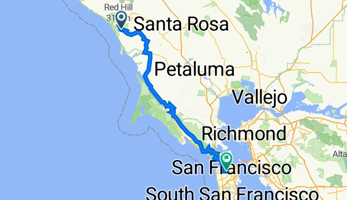
A cycling route starting in Monte Rio, California, United States.
Overview
About this route
- -:--
- Duration
- 141.2 km
- Distance
- 3,037 m
- Ascent
- 2,999 m
- Descent
- ---
- Avg. speed
- 624 m
- Max. altitude

Route quality
Waytypes & surfaces along the route
Waytypes
Track
40.9 km
(29 %)
Quiet road
19.8 km
(14 %)
Surfaces
Paved
73.4 km
(52 %)
Unpaved
21.2 km
(15 %)
Asphalt
66.3 km
(47 %)
Unpaved (undefined)
9.9 km
(7 %)
Continue with Bikemap
Use, edit, or download this cycling route
You would like to ride Labor Day 23' bikepack weekend (return) or customize it for your own trip? Here is what you can do with this Bikemap route:
Free features
- Save this route as favorite or in collections
- Copy & plan your own version of this route
- Split it into stages to create a multi-day tour
- Sync your route with Garmin or Wahoo
Premium features
Free trial for 3 days, or one-time payment. More about Bikemap Premium.
- Navigate this route on iOS & Android
- Export a GPX / KML file of this route
- Create your custom printout (try it for free)
- Download this route for offline navigation
Discover more Premium features.
Get Bikemap PremiumFrom our community
Other popular routes starting in Monte Rio
 CA-116, Monte Rio to Steelhead Blvd, Occidental
- Distance
- 33.7 km
- Ascent
- 832 m
- Descent
- 838 m
- Location
- Monte Rio, California, United States
 Bohemian Highway 20396, Monte Rio to Bohemian Highway 20396, Monte Rio
- Distance
- 68.2 km
- Ascent
- 486 m
- Descent
- 488 m
- Location
- Monte Rio, California, United States
 King Ridge Loop
- Distance
- 122.9 km
- Ascent
- 1,544 m
- Descent
- 1,238 m
- Location
- Monte Rio, California, United States
 king ridge
- Distance
- 68.2 km
- Ascent
- 2,187 m
- Descent
- 2,188 m
- Location
- Monte Rio, California, United States
 King Ridge Stewart's Point back via Hwy 1
- Distance
- 105.6 km
- Ascent
- 1,177 m
- Descent
- 1,177 m
- Location
- Monte Rio, California, United States
 King Ridge Loop
- Distance
- 82.6 km
- Ascent
- 1,148 m
- Descent
- 1,148 m
- Location
- Monte Rio, California, United States
 California - coast
- Distance
- 1,165 km
- Ascent
- 1,223 m
- Descent
- 1,206 m
- Location
- Monte Rio, California, United States
 King Ridge Fort Ross Loop from Jays
- Distance
- 79.2 km
- Ascent
- 1,195 m
- Descent
- 1,200 m
- Location
- Monte Rio, California, United States
Open it in the app