
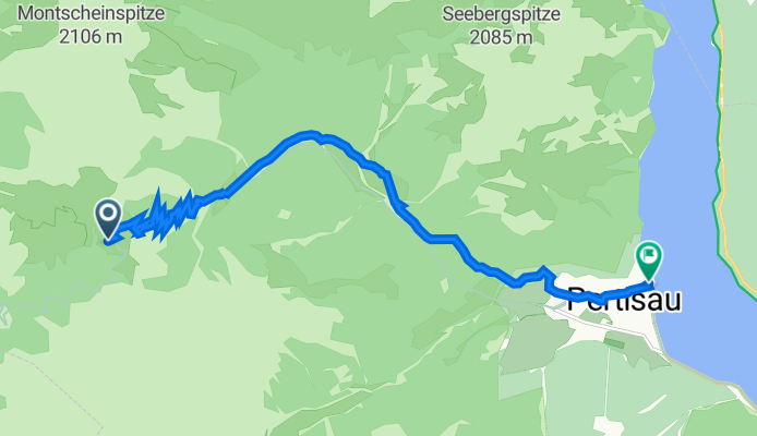
Bergwanderung Rückweg Plumsjochhütte nach Pertisau, Tirol
A cycling route starting in Achenkirch, Tyrol, Austria.
Overview
About this route
- 2 h 58 min
- Duration
- 10.4 km
- Distance
- 25 m
- Ascent
- 783 m
- Descent
- 3.5 km/h
- Avg. speed
- 1,663 m
- Max. altitude

Continue with Bikemap
Use, edit, or download this cycling route
You would like to ride Bergwanderung Rückweg Plumsjochhütte nach Pertisau, Tirol or customize it for your own trip? Here is what you can do with this Bikemap route:
Free features
- Save this route as favorite or in collections
- Copy & plan your own version of this route
- Sync your route with Garmin or Wahoo
Premium features
Free trial for 3 days, or one-time payment. More about Bikemap Premium.
- Navigate this route on iOS & Android
- Export a GPX / KML file of this route
- Create your custom printout (try it for free)
- Download this route for offline navigation
Discover more Premium features.
Get Bikemap PremiumFrom our community
Other popular routes starting in Achenkirch
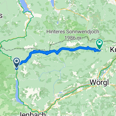
 Seewaldhütte
- Distance
- 10.9 km
- Ascent
- 507 m
- Descent
- 505 m
- Location
- Achenkirch, Tyrol, Austria
 Sylvenstein - Juifen
- Distance
- 45.2 km
- Ascent
- 1,265 m
- Descent
- 1,274 m
- Location
- Achenkirch, Tyrol, Austria
 Karwendelrunde
- Distance
- 122.4 km
- Ascent
- 3,979 m
- Descent
- 3,979 m
- Location
- Achenkirch, Tyrol, Austria
 Untere Dorfstraße, Achenkirch nach Hinterthiersee, Thiersee
- Distance
- 41 km
- Ascent
- 1,926 m
- Descent
- 1,990 m
- Location
- Achenkirch, Tyrol, Austria
 Achensee Radmarathon
- Distance
- 171.3 km
- Ascent
- 1,100 m
- Descent
- 1,107 m
- Location
- Achenkirch, Tyrol, Austria
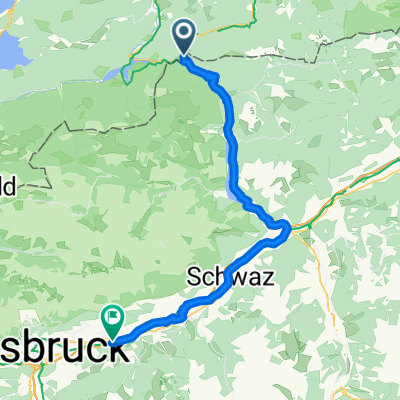 Achenkirch - Hall in Tirol
- Distance
- 64.7 km
- Ascent
- 818 m
- Descent
- 1,173 m
- Location
- Achenkirch, Tyrol, Austria
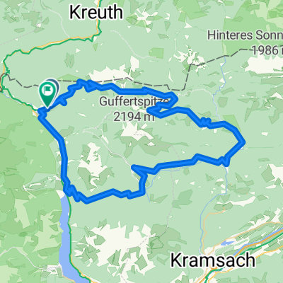 Achenkirch Blaubergalm Gufferthütte
- Distance
- 72.6 km
- Ascent
- 2,479 m
- Descent
- 2,479 m
- Location
- Achenkirch, Tyrol, Austria
 Unnütz - Guffertrunde
- Distance
- 71.2 km
- Ascent
- 1,726 m
- Descent
- 1,726 m
- Location
- Achenkirch, Tyrol, Austria
Open it in the app