

Mauterndorf - Trogalm Runde - Longa
A cycling route starting in Mauterndorf, Salzburg, Austria.
Overview
About this route
- -:--
- Duration
- 58.9 km
- Distance
- 1,677 m
- Ascent
- 1,678 m
- Descent
- ---
- Avg. speed
- 1,821 m
- Max. altitude

Route quality
Waytypes & surfaces along the route
Waytypes
Quiet road
32.4 km
(55 %)
Track
20 km
(34 %)
Surfaces
Paved
13 km
(22 %)
Unpaved
28.3 km
(48 %)
Gravel
25.9 km
(44 %)
Asphalt
13 km
(22 %)
Continue with Bikemap
Use, edit, or download this cycling route
You would like to ride Mauterndorf - Trogalm Runde - Longa or customize it for your own trip? Here is what you can do with this Bikemap route:
Free features
- Save this route as favorite or in collections
- Copy & plan your own version of this route
- Sync your route with Garmin or Wahoo
Premium features
Free trial for 3 days, or one-time payment. More about Bikemap Premium.
- Navigate this route on iOS & Android
- Export a GPX / KML file of this route
- Create your custom printout (try it for free)
- Download this route for offline navigation
Discover more Premium features.
Get Bikemap PremiumFrom our community
Other popular routes starting in Mauterndorf
 Mauterndorf - Weißpriach - Granglerhütte und retour
- Distance
- 40.6 km
- Ascent
- 723 m
- Descent
- 723 m
- Location
- Mauterndorf, Salzburg, Austria
 Mauterndorf -Zederhaus, retour via St. Margarethen
- Distance
- 54 km
- Ascent
- 841 m
- Descent
- 838 m
- Location
- Mauterndorf, Salzburg, Austria
 42/680_Weisspriachtal_rt
- Distance
- 41.7 km
- Ascent
- 735 m
- Descent
- 736 m
- Location
- Mauterndorf, Salzburg, Austria
 Markt nach Burgplatz
- Distance
- 67.3 km
- Ascent
- 2,348 m
- Descent
- 2,898 m
- Location
- Mauterndorf, Salzburg, Austria
 20130601
- Distance
- 37.2 km
- Ascent
- 249 m
- Descent
- 241 m
- Location
- Mauterndorf, Salzburg, Austria
 Mauterndorf Mariapfarr Häuserl im Wald
- Distance
- 18.7 km
- Ascent
- 423 m
- Descent
- 431 m
- Location
- Mauterndorf, Salzburg, Austria
 Markt 2a, Mauterndorf nach Schernbergstraße 14, Radstadt
- Distance
- 12,751.5 km
- Ascent
- 1,446 m
- Descent
- 1,706 m
- Location
- Mauterndorf, Salzburg, Austria
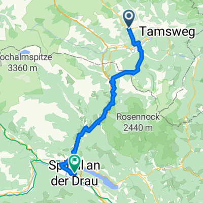
 Z Mautendorfu cez Tamsweg a spat
- Distance
- 34.3 km
- Ascent
- 537 m
- Descent
- 537 m
- Location
- Mauterndorf, Salzburg, Austria
Open it in the app